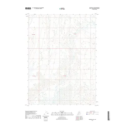
2017 Map of Seldovia D-3 NE
USGS Topo · Published 2017About this map
The Fox River system dominates this section of the Kenai Peninsula, carving a wide valley through the glaciated terrain of south-central Alaska. This 2017 study illustrates the complex hydrology of the river’s lower reaches, where the main channel is joined by Nikolai Cr and feeds into the intricate braided waterways of Clearwater Slough. The topography reveals a striking contrast between the low-lying river delta and the surrounding elevations, which rise sharply as one moves away from the valley floor. Researchers and cartography enthusiasts can observe the detailed wetland patterns and tidal influences that characterize this region's transition from riverine to coastal environments. The absence of modern roads or settlements in this particular quadrangle highlights the wilderness character of the area, defined almost entirely by its water systems and township-range divisions such as t2s r9w and t3s r9w.
Find a feature on this map
7 named features on this map. Tap any name to fly to it.
Don’t see what you’re looking for? This feature index may not catch every label — zoom into the map to look around manually.
Map Details
Editions of this 2017 Seldovia D-3 NE Map
This is the sole edition of this map. No revisions or reprints were ever made.
Other maps of this area

1944 · Kenai
USGS Topo · 1:250,000

1950 · Kenai
USGS Topo · 1:250,000

1950 · Seldovia D-2
USGS Topo · 1:63,360

1951 · Seldovia
USGS Topo · 1:250,000

1951 · Seldovia D-3
USGS Topo · 1:63,360

1951 · Kenai A-3
USGS Topo · 1:63,360

1951 · Kenai A-2
USGS Topo · 1:63,360

1952 · Kenai A-2
USGS Topo · 1:63,360

1952 · Kenai A-3
USGS Topo · 1:63,360

1953 · Seldovia D-2
USGS Topo · 1:63,360