
1953 Map of Seminoe Dam NE
USGS Topo · Published 1955About this map
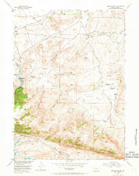
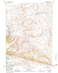
Bennett Mountains dominate the southern half of this mid-century survey, creating a dramatic landscape of steep gulches and high ridges that drop toward the Shirley Basin and the North Platte River. The terrain is deeply incised by a series of drainages, including Number One Gulch, Number Two Gulch, and Number Three Gulch, which illustrate the complex water management required in this arid environment. Ranching life is well-documented through named holdings such as Vivian Ranch and the Nine Bar W Ranch, while the inclusion of the Sage Creek Clubhouse suggests a established community social fabric.
Find a feature on this map
43 named features on this map. Tap any name to fly to it.
Don’t see what you’re looking for? This feature index may not catch every label — zoom into the map to look around manually.
Map Details
Editions of this 1953 Seminoe Dam NE Map
3 editions found
Other maps of this area

1953 · Leo
USGS Topo · 1:24,000

1953 · Seminoe Dam
USGS Topo · 1:24,000

1953 · Seminoe Dam SW
USGS Topo · 1:24,000

1953 · Pathfinder Reservoir SW
USGS Topo · 1:24,000

1953 · Seminoe Dam SE
USGS Topo · 1:24,000

1953 · Fourmile Ridge
USGS Topo · 1:24,000

1953 · Schneider Ridge
USGS Topo · 1:24,000

1953 · Beaver Creek
USGS Topo · 1:24,000

1955 · Casper
USGS Topo · 1:250,000

1958 · Casper
USGS Topo · 1:250,000