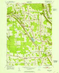
1943 Map of Sempronius
USGS Topo · Published 1953About this map
The town of Sempronius and its rural neighbors are depicted here in the early 1940s, revealing a landscape defined by sharp glacial topography and a network of namesake corners. The map showcases a traditional New York rural economy through the presence of Morse Mill and Grout Mill, alongside a dense system of district schools, including School No 5 and School No 8, which anchored these upland communities. At the heart of the terrain lies Lake Como, with its drainage following the winding path of Dresserville Creek toward the village of Dresserville. This survey captures the transition of the land from intensive farming toward recreation, noted by the inclusion of Fillmore Glen State Park in the west and the various family burial grounds like Wilcox Cem and Eaton Cem that dot the hillsides of the Cayuga and Cortland county line.
Find a feature on this map
47 named features on this map. Tap any name to fly to it.
Don’t see what you’re looking for? This feature index may not catch every label — zoom into the map to look around manually.
Map Details
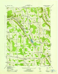
Editions of this 1943 Sempronius Map
2 editions found
Other maps of this area

1898 · Moravia
USGS Topo · 1:62,500

1899 · Skaneateles
USGS Topo · 1:62,500

1900 · Tully
USGS Topo · 1:62,500

1902 · Skaneateles
USGS Topo · 1:62,500

1902 · Moravia
USGS Topo · 1:62,500

1903 · Cortland
USGS Topo · 1:62,500

1942 · Groton
USGS Topo · 1:24,000

1943 · Moravia
USGS Topo · 1:31,680

1943 · West Groton
USGS Topo · 1:31,680

1943 · Spafford
USGS Topo · 1:31,680