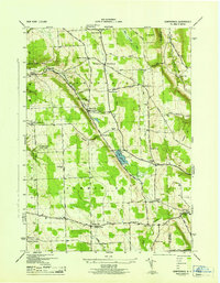
1943 Map of Sempronius
USGS Topo · Published 1953About this map
Lake Como and the steep glacial terrain of Cayuga County define this 1943 survey, conducted by the Tennessee Valley Authority for the War Department. The landscape is marked by several historic crossroads and small milling centers, most notably Morse Mill and Grout Mill, which reflect the area's early industrial reliance on local water power from Dresserville Creek and Mill Brook. The settlement pattern is largely agricultural, centered around rural school districts such as School No 5 and School No 1, and family-named points like Murphy Corners and Wards Corners.
Find a feature on this map
55 named features on this map. Tap any name to fly to it.
Don’t see what you’re looking for? This feature index may not catch every label — zoom into the map to look around manually.
Map Details
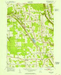
Editions of this 1943 Sempronius Map
2 editions found
Other maps of this area

1898 · Moravia
USGS Topo · 1:62,500

1899 · Skaneateles
USGS Topo · 1:62,500

1900 · Tully
USGS Topo · 1:62,500

1902 · Skaneateles
USGS Topo · 1:62,500

1902 · Moravia
USGS Topo · 1:62,500

1903 · Cortland
USGS Topo · 1:62,500

1942 · Groton
USGS Topo · 1:24,000

1943 · Moravia
USGS Topo · 1:31,680

1943 · West Groton
USGS Topo · 1:31,680

1943 · Spafford
USGS Topo · 1:31,680