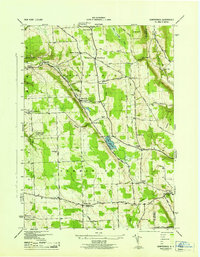
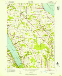
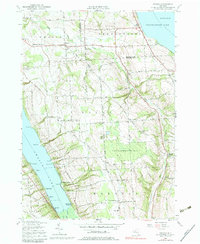
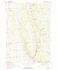
1943 Map of Sempronius
USGS Topo · Published 1953This historical map portrays the area of Sempronius in 1943, primarily covering Cayuga County as well as portions of Cortland County. Featuring a scale of 1:31680, this map provides a highly detailed snapshot of the terrain, roads, buildings, counties, and historical landmarks in the Sempronius region at the time. Published in 1953, it is one of 2 known editions of this map due to revisions or reprints.
Find a feature on this map
55 named features on this map. Tap any name to fly to it.
Don’t see what you’re looking for? This feature index may not catch every label — zoom into the map to look around manually.
Map Details
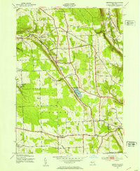
Editions of this 1943 Sempronius Map
2 editions found
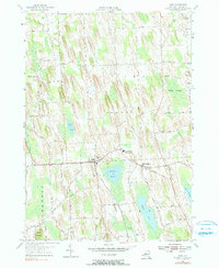
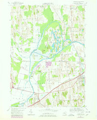
Historical Maps of Dresserville Through Time
27 maps found

1898 Moravia
Cayuga County, NY
1902 Genoa
Cayuga County, NY
1902 Moravia
Cayuga County, NY

1942 Genoa
Cayuga County, NY

1942 Sheldrake
Cayuga County, NY

1943 Cato
Cayuga County, NY

1943 Genoa
Cayuga County, NY

1943 Montezuma
Cayuga County, NY
1943 Moravia
Cayuga County, NY
1943 Owasco
Cayuga County, NY

1943 Scipio
Cayuga County, NY
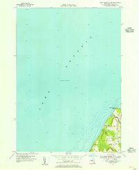
1943 Sempronius
Cayuga County, NY

1943 Sheldrake
Cayuga County, NY

1943 Spafford
Cayuga County, NY

1943 West Ninemile Point
Cayuga County, NY

1949 Moravia
Cayuga County, NY
1954 Cato
Cayuga County, NY
1954 Montezuma
Cayuga County, NY

1954 Victory
Cayuga County, NY
1954 West Ninemile Point
Cayuga County, NY
1955 Owasco
Cayuga County, NY
1955 Spafford
Cayuga County, NY
1956 Scipio Center
Cayuga County, NY
1970 Genoa
Cayuga County, NY
1971 Moravia
Cayuga County, NY

1971 Sempronius
Cayuga County, NY
1971 Sheldrake
Cayuga County, NY