
2010 Map of Senate
USGS Topo · Published 2010About this map
The Bryson Oil Field and scattered rural settlements define this portion of North Texas, where the landscape is intricately managed for water conservation. Numerous dams, such as the Rhodes Lake Dam and several Soil Conservation Service reservoirs, punctuate the drainages of West Salt Creek and Board Tree Creek, reflecting the region's reliance on engineered water storage. The community of Senate and the small cluster at Bob Town serve as local landmarks along a network of country roads including Berwick RD and Mountain Home RD.
Find a feature on this map
44 named features on this map. Tap any name to fly to it.
Don’t see what you’re looking for? This feature index may not catch every label — zoom into the map to look around manually.
Map Details
Editions of this 2010 Senate Map
This is the sole edition of this map. No revisions or reprints were ever made.
Other maps of this area

1954 · Wichita Falls
USGS Topo · 1:250,000

1958 · Wichita Falls
USGS Topo · 1:250,000

1960 · Jacksboro
USGS Topo · 1:24,000
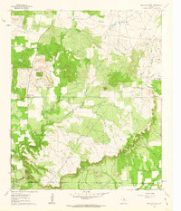
1961 · Bartons Chapel
USGS Topo · 1:24,000

1964 · Senate
USGS Topo · 1:24,000

1964 · Johnson Lake
USGS Topo · 1:24,000

1964 · Bryson
USGS Topo · 1:24,000

1964 · Lynn Creek
USGS Topo · 1:24,000
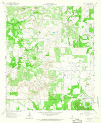
1964 · Markley
USGS Topo · 1:24,000
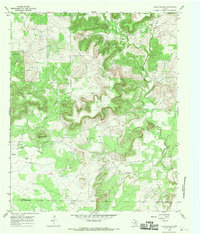
1967 · Long Hollow
USGS Topo · 1:24,000