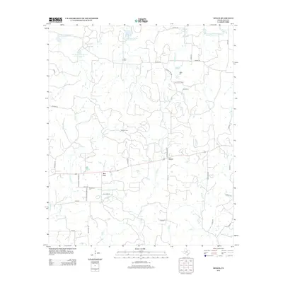
2012 Map of Senate
USGS Topo · Published 2012About this map
Bob Town and the settlement of Senate anchor this Jack County landscape, where the rural road network connects small communities with localized industry and agriculture. The central portion of the map is dominated by the Bryson Oil Field, indicating the importance of energy extraction to the local economy. Water management is a defining characteristic of the terrain, visible through a series of reservoirs including Soil Conservation Service Site 24 Reservoir and others along North Cr. These sites, along with the waters of Henderson Cr and Dearing Lake, suggest a land managed for both conservation and livestock support.
Find a feature on this map
42 named features on this map. Tap any name to fly to it.
Don’t see what you’re looking for? This feature index may not catch every label — zoom into the map to look around manually.
Map Details
Editions of this 2012 Senate Map
This is the sole edition of this map. No revisions or reprints were ever made.
Other maps of this area

1954 · Wichita Falls
USGS Topo · 1:250,000

1958 · Wichita Falls
USGS Topo · 1:250,000

1960 · Jacksboro
USGS Topo · 1:24,000
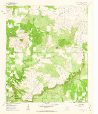
1961 · Bartons Chapel
USGS Topo · 1:24,000

1964 · Senate
USGS Topo · 1:24,000

1964 · Johnson Lake
USGS Topo · 1:24,000

1964 · Bryson
USGS Topo · 1:24,000

1964 · Lynn Creek
USGS Topo · 1:24,000
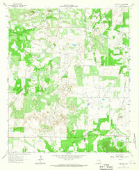
1964 · Markley
USGS Topo · 1:24,000
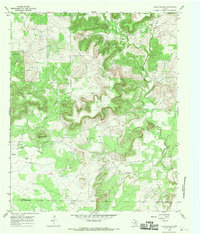
1967 · Long Hollow
USGS Topo · 1:24,000