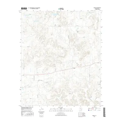
2016 Map of Senate
USGS Topo · Published 2016About this map
Senate stands as the central settlement in this portion of Jack County, situated within a landscape defined by the drainage systems of W Salt Cr and E Salt Cr. The terrain is punctuated by notable elevations like Tater Hill and carved by numerous watercourses including Board Tree Cr and North Cr. For genealogists and local historians, the map is a significant record of rural community landmarks, documenting the locations of Winn Hill Cem and Cottonwood Cem. The presence of several Soil Conservation Service reservoirs, such as Soil Conservation Service Site 25 Reservoir, reflects modern land management practices aimed at controlling the watershed. A network of rural roads like Cottonwood Cemetery RD and Mountain Home RD connect these scattered homesteads and water features, illustrating the area's ongoing ranching and agricultural character.
Find a feature on this map
42 named features on this map. Tap any name to fly to it.
Don’t see what you’re looking for? This feature index may not catch every label — zoom into the map to look around manually.
Map Details
Editions of this 2016 Senate Map
This is the sole edition of this map. No revisions or reprints were ever made.
Other maps of this area

1954 · Wichita Falls
USGS Topo · 1:250,000

1958 · Wichita Falls
USGS Topo · 1:250,000

1960 · Jacksboro
USGS Topo · 1:24,000
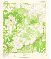
1961 · Bartons Chapel
USGS Topo · 1:24,000

1964 · Senate
USGS Topo · 1:24,000

1964 · Johnson Lake
USGS Topo · 1:24,000

1964 · Bryson
USGS Topo · 1:24,000

1964 · Lynn Creek
USGS Topo · 1:24,000
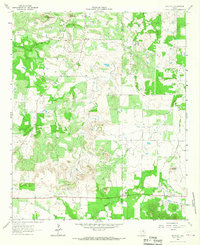
1964 · Markley
USGS Topo · 1:24,000
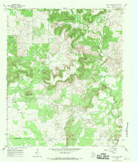
1967 · Long Hollow
USGS Topo · 1:24,000