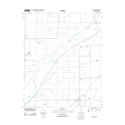
2011 Map of Senath
USGS Topo · Published 2011About this map
The Saint Francis River meanders across this alluvial landscape along the Missouri-Arkansas border, defining a complex drainage network that includes Grassy Slough, Kinnemore Slough, and the Old Channel Varney River. The town of Senath serves as the primary hub in this agricultural region, supported by smaller settlements and industry sites like Mitchell Mill and Johnson Mill. The terrain is characterized by slightly elevated features such as White Oak Ridge and several named islands, including Blue Cane Island, Allen Island, and Two Mile Island, which suggest the historic path of the river through these lowlands. Genealogists will find several burial grounds documented here, including Lanier Cemetery, McGrew Cemetery, and Leonard Cemetery. Transport in the early 21st century relied on a grid of county roads and local levee routes, while rural aviation is marked by the Skelton Landing Strip and Aviation Landing Strip.
Find a feature on this map
44 named features on this map. Tap any name to fly to it.
Don’t see what you’re looking for? This feature index may not catch every label — zoom into the map to look around manually.
Map Details
Editions of this 2011 Senath Map
2 editions found
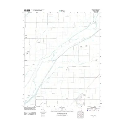
Other maps of this area

1934 · Kennett
USGS Topo · 1:62,500

1935 · Rector
USGS Topo · 1:62,500

1940 · Marmaduke
USGS Topo · 1:62,500

1940 · Kennett
USGS Topo · 1:62,500

1940 · Piggott
USGS Topo · 1:62,500

1956 · Kennett
USGS Topo · 1:62,500

1956 · Piggott
USGS Topo · 1:62,500

1957 · Poplar Bluff
USGS Topo · 1:250,000

1958 · Marmaduke
USGS Topo · 1:62,500

1958 · Rector
USGS Topo · 1:62,500