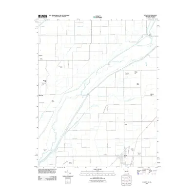
2011 Map of Senath
USGS Topo · Published 2011About this map
The Saint Francis River and its complex of drainage canals and sloughs dominate this landscape along the Missouri-Arkansas border. This low-lying agricultural region is defined by its water management, featuring Big Slough Ditch, Grassy Slough, and Honey Cypress Ditch Number 34. Named "islands" such as Blue Cane Island, Allen Island, and Two Mile Island indicate slightly higher ground within this alluvial plain. Small settlements and industry are scattered throughout, including Senath at the southern edge and White Oak to the west. Local genealogy is supported by the presence of Leonard Cemetery, McGrew Cemetery, and Lanier Cemetery, while the area's agricultural history is evidenced by Mitchell Mill and Johnson Mill. The map also captures specialized transport features like the Skelton Landing Strip and the Aviation Landing Strip, serving the local farming and aviation needs of Dunklin County.
Find a feature on this map
63 named features on this map. Tap any name to fly to it.
Don’t see what you’re looking for? This feature index may not catch every label — zoom into the map to look around manually.
Map Details
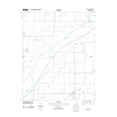
Editions of this 2011 Senath Map
2 editions found
Other maps of this area

1934 · Kennett
USGS Topo · 1:62,500

1935 · Rector
USGS Topo · 1:62,500

1940 · Marmaduke
USGS Topo · 1:62,500

1940 · Kennett
USGS Topo · 1:62,500

1940 · Piggott
USGS Topo · 1:62,500

1956 · Kennett
USGS Topo · 1:62,500

1956 · Piggott
USGS Topo · 1:62,500

1957 · Poplar Bluff
USGS Topo · 1:250,000

1958 · Marmaduke
USGS Topo · 1:62,500

1958 · Rector
USGS Topo · 1:62,500