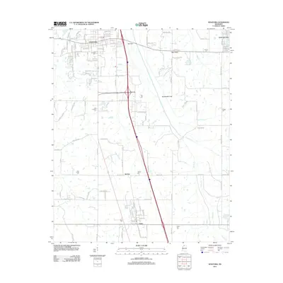
2012 Map of Senatobia
USGS Topo · Published 2012About this map
Senatobia stands as the primary hub of this Tate County landscape, showing a dense grid of residential streets like Strayhorn St, Church St, and College St during the early 2010s. The region is defined by its rural settlements and burial grounds, serving as a valuable resource for genealogists tracing local families. Small communities such as New Town, McGhee, and Como anchor the surrounding territory, while the landscape is dotted with numerous small cemeteries including Bethesda Cem and Zion Hill Cem.
Find a feature on this map
130 named features on this map. Tap any name to fly to it.
Don’t see what you’re looking for? This feature index may not catch every label — zoom into the map to look around manually.
Map Details
Editions of this 2012 Senatobia Map
This is the sole edition of this map. No revisions or reprints were ever made.
Other maps of this area

1932 · Sledge
USGS Topo · 1:48,000

1932 · Crenshaw
USGS Topo · 1:62,500

1935 · Crenshaw
USGS Topo · 1:62,500

1935 · Sledge
USGS Topo · 1:62,500

1939 · Sledge
USGS Topo · 1:62,500

1944 · Senatobia
USGS Topo · 1:62,500

1948 · Helena
USGS Topo · 1:250,000

1950 · Helena
USGS Topo · 1:250,000

1952 · Sardis
USGS Topo · 1:62,500

1953 · Sardis
USGS Topo · 1:62,500