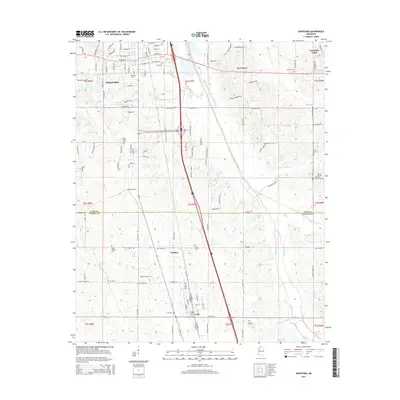
2015 Map of Senatobia
USGS Topo · Published 2015About this map
Senatobia and Como anchor this topographic view of Northwest Mississippi, showing the corridor where the landscape shifts across the Tate and Panola County line. The urban layout of Senatobia is detailed down to residential streets like Strayhorn St and Baddour Blvd, while the surrounding countryside is dotted with numerous rural cemeteries and smaller communities such as New Town and McGhee. The presence of the Old Senatobia Canal alongside Senatobia Creek indicates a history of water management in this agricultural region.
Find a feature on this map
139 named features on this map. Tap any name to fly to it.
Don’t see what you’re looking for? This feature index may not catch every label — zoom into the map to look around manually.
Map Details
Editions of this 2015 Senatobia Map
This is the sole edition of this map. No revisions or reprints were ever made.
Other maps of this area

1932 · Sledge
USGS Topo · 1:48,000

1932 · Crenshaw
USGS Topo · 1:62,500

1935 · Crenshaw
USGS Topo · 1:62,500

1935 · Sledge
USGS Topo · 1:62,500

1939 · Sledge
USGS Topo · 1:62,500

1944 · Senatobia
USGS Topo · 1:62,500

1948 · Helena
USGS Topo · 1:250,000

1950 · Helena
USGS Topo · 1:250,000

1952 · Sardis
USGS Topo · 1:62,500

1953 · Sardis
USGS Topo · 1:62,500