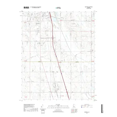
2018 Map of Senatobia
USGS Topo · Published 2018About this map
Senatobia and Como anchor this Northwest Mississippi landscape, connected by a corridor that crosses from Tate County into Panola County. The area is defined by a dense network of local cemeteries, such as Bethesda Cem and Old Caroline Cem, which offer significant genealogical value for families tied to these historic settlements. The hydrology of the region is notably marked by the Old Senatobia Canal and the meandering course of Senatobia Creek, reflecting long-standing efforts to manage the wetlands and drainage of the basin.
Find a feature on this map
119 named features on this map. Tap any name to fly to it.
Don’t see what you’re looking for? This feature index may not catch every label — zoom into the map to look around manually.
Map Details
Editions of this 2018 Senatobia Map
This is the sole edition of this map. No revisions or reprints were ever made.
Other maps of this area

1932 · Sledge
USGS Topo · 1:48,000

1932 · Crenshaw
USGS Topo · 1:62,500

1935 · Crenshaw
USGS Topo · 1:62,500

1935 · Sledge
USGS Topo · 1:62,500

1939 · Sledge
USGS Topo · 1:62,500

1944 · Senatobia
USGS Topo · 1:62,500

1948 · Helena
USGS Topo · 1:250,000

1950 · Helena
USGS Topo · 1:250,000

1952 · Sardis
USGS Topo · 1:62,500

1953 · Sardis
USGS Topo · 1:62,500