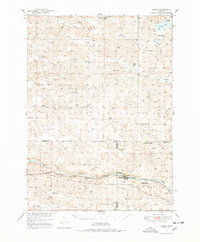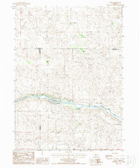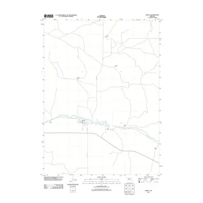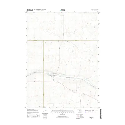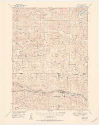
1951 Map of Seneca
USGS Topo · Published 1951About this map
The Middle Loup River valley anchors this mid-century survey of the Nebraska Sandhills, where the Chicago Burlington and Quincy railroad follows the water's path through the southern half of the quadrangle. The village of Seneca serves as a central hub for the region's ranching economy, situated near the railway and the small community of Kelso. The landscape is defined by its numerous family-owned operations, such as the Metz Ranch, Peterson Ranch, and Walker Ranch, which are interspersed among geological features like Giant Hill and the broad depressions of Barent Valley and Rees Valley. Education in this dispersed rural community is represented by the Huddle Sch and Virginia Sch. To the north, the terrain transitions into a more secluded lake district, notable for water bodies like Swan Lake and Conway Lake, illustrating the unique hydrology of this cattle-raising country.
Find a feature on this map
34 named features on this map. Tap any name to fly to it.
Don’t see what you’re looking for? This feature index may not catch every label — zoom into the map to look around manually.
Map Details
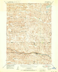
Editions of this 1951 Seneca Map
2 editions found
Historical Maps of Seneca Through Time
7 maps found