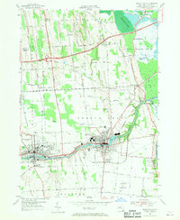
1953 Map of Seneca Falls
USGS Topo · Published 1970About this map
Seneca Falls and Waterloo anchor this mid-century survey, a region defined by the intricate engineering of the New York canal system. The town of Seneca Falls is shown in detail, where the Seneca River feeds into Van Cleef Lake near the lock system of the Cayuga and Seneca Canal. To the east, the Montezuma National Wildlife Refuge and the Erie Canal dominate the landscape, illustrating the confluence of water transport and environmental preservation.
Find a feature on this map
78 named features on this map. Tap any name to fly to it.
Don’t see what you’re looking for? This feature index may not catch every label — zoom into the map to look around manually.
Map Details
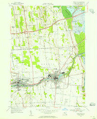
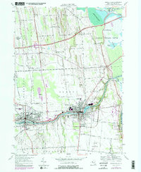
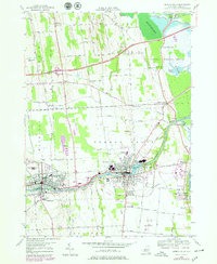
Editions of this 1953 Seneca Falls Map
4 editions found
Other maps of this area

1899 · Auburn
USGS Topo · 1:62,500

1902 · Geneva
USGS Topo · 1:62,500

1902 · Clyde
USGS Topo · 1:62,500

1902 · Weedsport
USGS Topo · 1:62,500

1902 · Auburn
USGS Topo · 1:62,500

1943 · Lyons
USGS Topo · 1:31,680

1943 · Geneva North
USGS Topo · 1:31,680

1943 · Geneva South
USGS Topo · 1:31,680

1943 · Montezuma
USGS Topo · 1:31,680

1943 · Cayuga
USGS Topo · 1:31,680