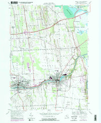
1953 Map of Seneca Falls
USGS Topo · Published 1979About this map
Industrial and maritime corridors define the landscape of Seneca Falls and Waterloo during the mid-twentieth century. The complex relationship between the Seneca River and the Erie Canal is clearly visible, showing the infrastructure of the Seneca River and Cayuga and Seneca Canal as it winds through the heart of these manufacturing centers. To the north, the massive Montezuma Marsh and Montezuma National Wildlife Refuge contrast with the emerging modern transport network, including the New York State Thruway and its Interchange No. 41.
Find a feature on this map
64 named features on this map. Tap any name to fly to it.
Don’t see what you’re looking for? This feature index may not catch every label — zoom into the map to look around manually.
Map Details
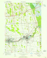
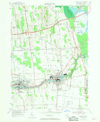
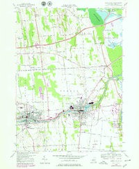
Editions of this 1953 Seneca Falls Map
4 editions found
Other maps of this area

1899 · Auburn
USGS Topo · 1:62,500

1902 · Geneva
USGS Topo · 1:62,500

1902 · Clyde
USGS Topo · 1:62,500

1902 · Weedsport
USGS Topo · 1:62,500

1902 · Auburn
USGS Topo · 1:62,500

1943 · Lyons
USGS Topo · 1:31,680

1943 · Geneva North
USGS Topo · 1:31,680

1943 · Geneva South
USGS Topo · 1:31,680

1943 · Montezuma
USGS Topo · 1:31,680

1943 · Cayuga
USGS Topo · 1:31,680