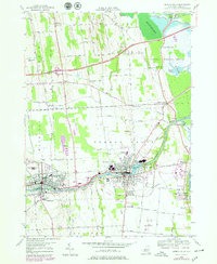
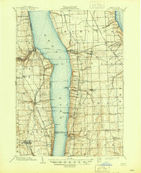
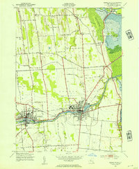
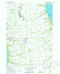
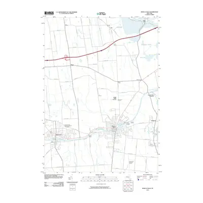
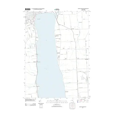
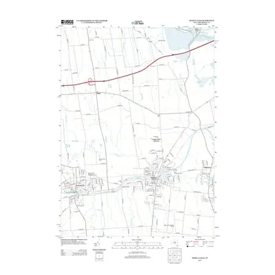
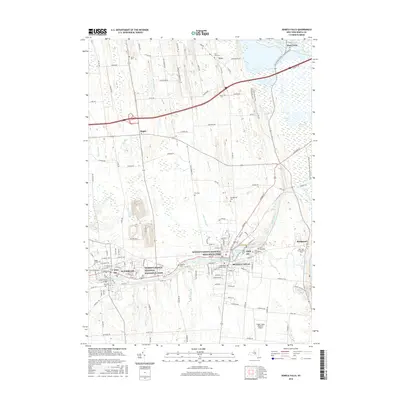
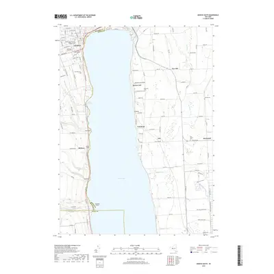
1953 Map of Seneca Falls
USGS Topo · Published 1979About this map
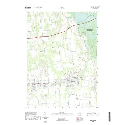
The industrial and hydraulic character of Seneca Falls and Waterloo is defined by the Cayuga and Seneca Canal, which threads through the heart of these Finger Lakes communities. At the time of this 1953 survey, the landscape shows a transition from the dense village grids to the sprawling Montezuma National Wildlife Refuge in the northeast. Notable local landmarks include the Mynderse Academy and Van Cleef Lake, while the transportation network is anchored by the Thruway Toll Road and the Conrail lines. Genealogists will find a wealth of burial sites across the townships, from the Kingdom Cem and Maple Grove Cem in the west to the Rest Vale Cemetery and St Columbkille Cem near the canal. The map also captures the eastern edge of Junius and the northern reaches of Fayette, illustrating the agricultural and civic layout of the mid-20th century.
Find a feature on this map
74 named features on this map. Tap any name to fly to it.
Don’t see what you’re looking for? This feature index may not catch every label — zoom into the map to look around manually.
Map Details
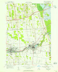
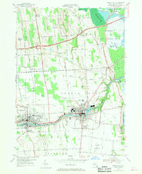
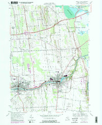
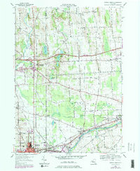
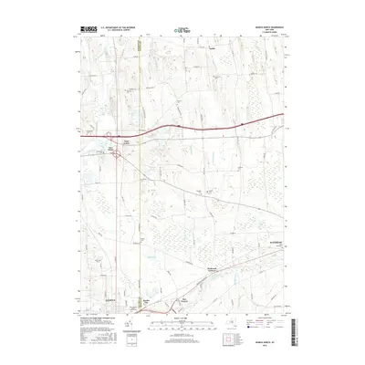
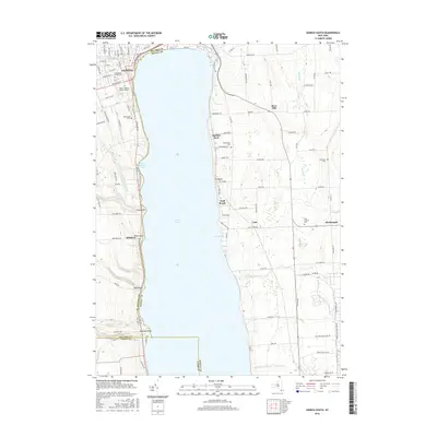
Editions of this 1953 Seneca Falls Map
4 editions found
Historical Maps of Seneca Falls Through Time
43 maps found
1902 Ovid
Seneca County, NY

1942 Lodi
Seneca County, NY
1942 Ovid
Seneca County, NY

1943 Geneva North
Seneca County, NY

1943 Geneva South
Seneca County, NY
1943 Lodi
Seneca County, NY
1943 Romulus
Seneca County, NY
1943 Seneca Falls
Seneca County, NY
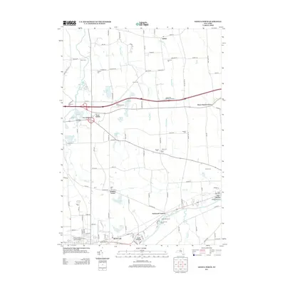
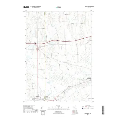
1953 Geneva North
Seneca County, NY
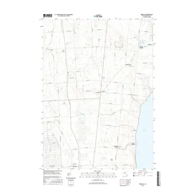
1953 Geneva South
Seneca County, NY
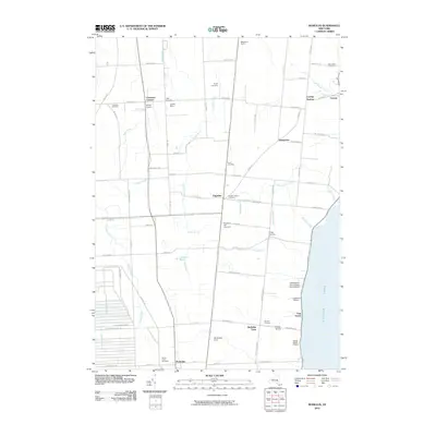
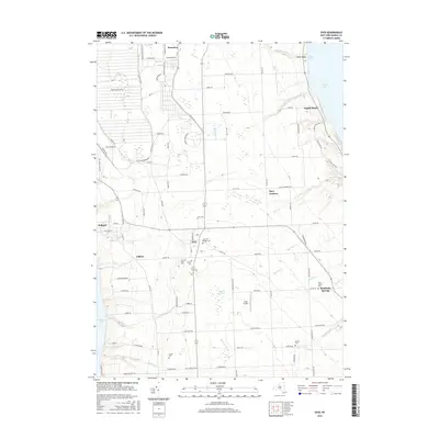
1953 Romulus
Seneca County, NY
1953 Seneca Falls
Seneca County, NY
1970 Ovid
Seneca County, NY
2010 Geneva North
Seneca County, NY
2010 Geneva South
Seneca County, NY
2010 Ovid
Seneca County, NY
2010 Romulus
Seneca County, NY
2010 Seneca Falls
Seneca County, NY
2011 Lodi
Seneca County, NY
2013 Geneva North
Seneca County, NY
2013 Geneva South
Seneca County, NY
2013 Lodi
Seneca County, NY
2013 Ovid
Seneca County, NY
2013 Romulus
Seneca County, NY
2013 Seneca Falls
Seneca County, NY
2016 Geneva North
Seneca County, NY
2016 Geneva South
Seneca County, NY
2016 Lodi
Seneca County, NY
2016 Ovid
Seneca County, NY
2016 Romulus
Seneca County, NY
2016 Seneca Falls
Seneca County, NY
2019 Geneva North
Seneca County, NY
2019 Geneva South
Seneca County, NY
2019 Lodi
Seneca County, NY
2019 Ovid
Seneca County, NY
2019 Romulus
Seneca County, NY
2019 Seneca Falls
Seneca County, NY

2023 Geneva North
Seneca County, NY

2023 Geneva South
Seneca County, NY

2023 Lodi
Seneca County, NY

2023 Ovid
Seneca County, NY

2023 Romulus
Seneca County, NY

2023 Seneca Falls
Seneca County, NY