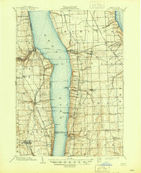
1902 Map of Ovid
USGS Topo · Published 1945About this map
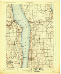
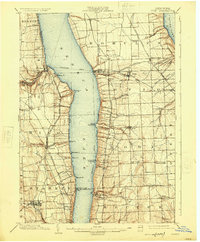
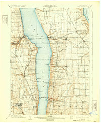
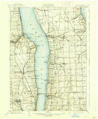
Seneca Lake and its steep-banked eastern and western shores dominate this landscape at the turn of the century, serving as a corridor for trade and transit. The map identifies a clear Steamboat Route navigating between points like Lodi Landing and Lamoreaux Landing, illustrating how water remained central to commerce even as massive rail networks expanded. Along the western ridge, the Northern Central R. R. and New York Central and Hudson River R. R. parallel the lake, serving established settlements such as Dundee, Himrod, and Dresden.
Find a feature on this map
69 named features on this map. Tap any name to fly to it.
Don’t see what you’re looking for? This feature index may not catch every label — zoom into the map to look around manually.
Map Details
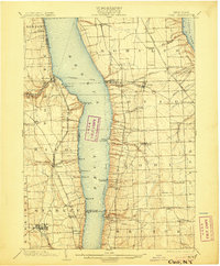
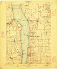
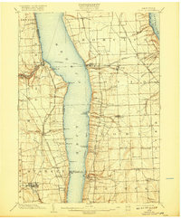
Editions of this 1902 Ovid Map
9 editions found
Other maps of this area

1893 · Ithaca
USGS Topo · 1:62,500

1895 · Ithaca
USGS Topo · 1:62,500

1898 · Watkins Glen
USGS Topo · 1:62,500

1899 · Auburn
USGS Topo · 1:62,500

1901 · Watkins
USGS Topo · 1:62,500

1902 · Geneva
USGS Topo · 1:62,500

1902 · Phelps
USGS Topo · 1:62,500

1902 · Genoa
USGS Topo · 1:62,500

1902 · Ovid
USGS Topo · 1:62,500

1902 · Auburn
USGS Topo · 1:62,500