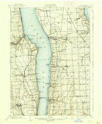
1902 Map of Ovid
USGS Topo · Published 1938About this map
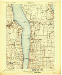
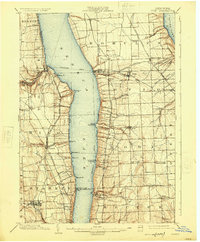
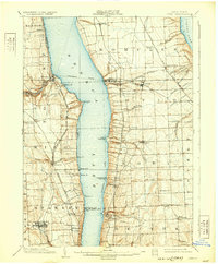
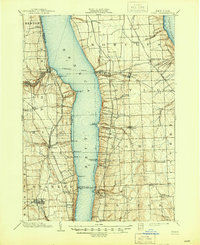
The Finger Lakes region of New York is defined here by the deep basins of Seneca Lake and Cayuga Lake, separated by a high agricultural ridge. At the turn of the century, this landscape relied on a dense network of transit, including the Steamboat Route that connected shore-side points like Lodi Landing and Lamoreaux Landing to the interior rail systems. Several major rail lines traverse the hills, including the Lehigh Valley R.R. and the Northern Central R.R., which facilitated the movement of goods from industrial hubs like Dundee and Dresden. The map reveals the early industrial character of the creeks, such as the Cascade Mills on the western shore of Seneca Lake, and shows the distinct settlement patterns of the Lodi and Ovid townships before modern infrastructure reshaped the lakefronts.
Find a feature on this map
67 named features on this map. Tap any name to fly to it.
Don’t see what you’re looking for? This feature index may not catch every label — zoom into the map to look around manually.
Map Details
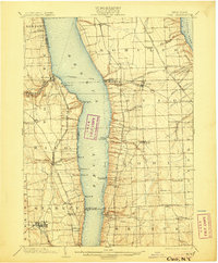
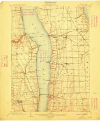
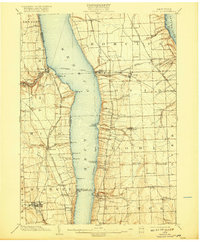
Editions of this 1902 Ovid Map
9 editions found
Other maps of this area

1893 · Ithaca
USGS Topo · 1:62,500

1895 · Ithaca
USGS Topo · 1:62,500

1898 · Watkins Glen
USGS Topo · 1:62,500

1899 · Auburn
USGS Topo · 1:62,500

1901 · Watkins
USGS Topo · 1:62,500

1902 · Geneva
USGS Topo · 1:62,500

1902 · Phelps
USGS Topo · 1:62,500

1902 · Genoa
USGS Topo · 1:62,500

1902 · Ovid
USGS Topo · 1:62,500

1902 · Auburn
USGS Topo · 1:62,500