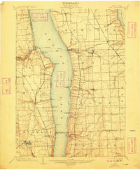
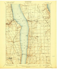
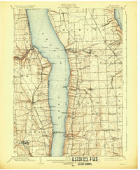
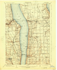
1902 Map of Ovid
USGS Topo · Published 1909About this map
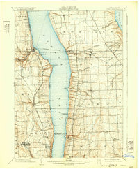
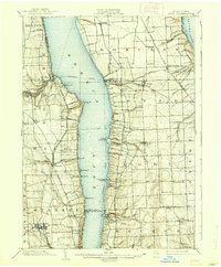
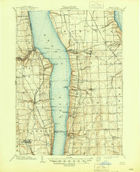
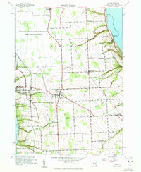
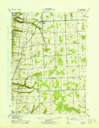
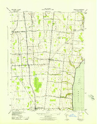
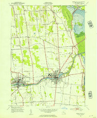
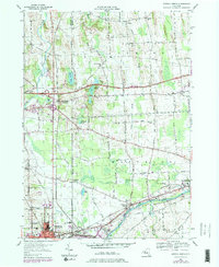
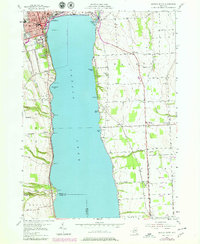
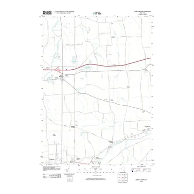
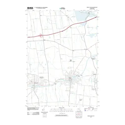
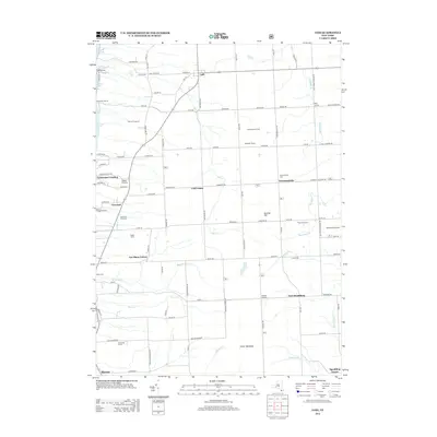
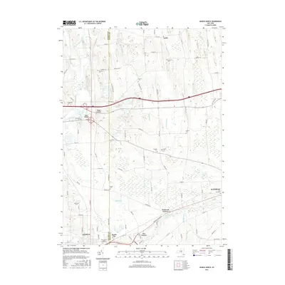
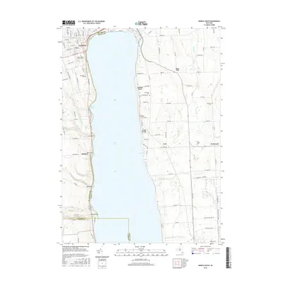
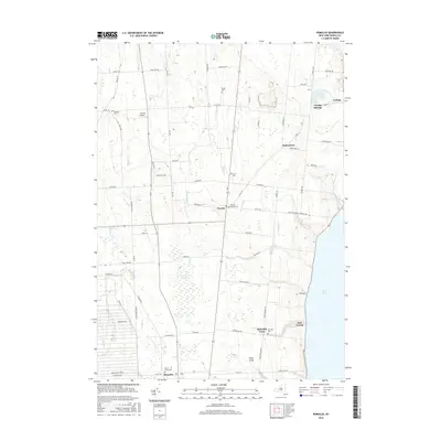
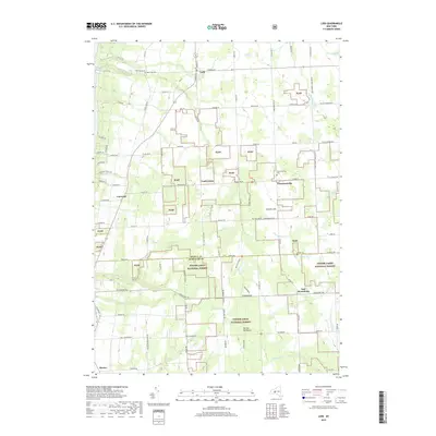
Seneca Lake and Cayuga Lake dominate this landscape, illustrating the critical water-and-rail transport networks of the Finger Lakes region at the turn of the century. The map depicts a Steamboat Route bisecting Seneca Lake, connecting points like Lodi Landing and Lamoreaux Landing to the surrounding rail infrastructure. On the western shore, the Northern Central R. R. and the Pennsylvania Division New York Central and Hudson River R. R. hug the coastline, while industrial activity is evident at Cascade Mills and Mays Mill along the Keuka Lake Outlet. Local agricultural centers such as Ovid, Dundee, and Lodi serve as inland hubs, linked by a dense grid of rural roads and the Lehigh Valley R. R. on the eastern peninsula. These features together show a region transitioning from purely water-based commerce to a more integrated industrial rail economy.
Find a feature on this map
73 named features on this map. Tap any name to fly to it.
Don’t see what you’re looking for? This feature index may not catch every label — zoom into the map to look around manually.
Map Details
Editions of this 1902 Ovid Map
9 editions found


Historical Maps of Milo Through Time
43 maps found
1902 Ovid
Seneca County, NY

1942 Lodi
Seneca County, NY
1942 Ovid
Seneca County, NY

1943 Geneva North
Seneca County, NY

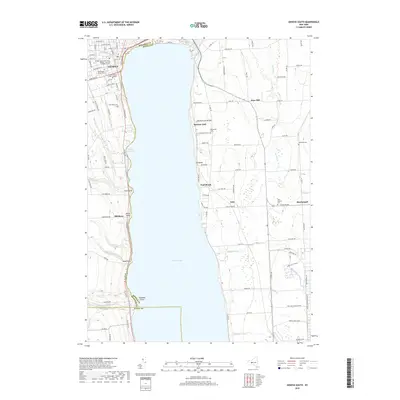
1943 Geneva South
Seneca County, NY
1943 Lodi
Seneca County, NY
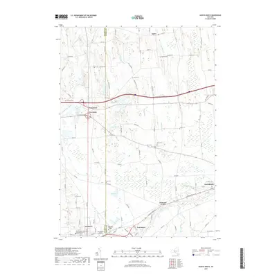
1943 Romulus
Seneca County, NY
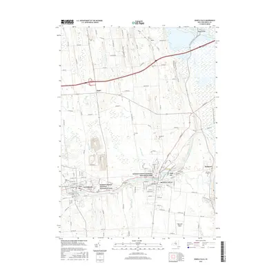
1943 Seneca Falls
Seneca County, NY
1953 Geneva North
Seneca County, NY
1953 Geneva South
Seneca County, NY
1953 Romulus
Seneca County, NY
1953 Seneca Falls
Seneca County, NY
1970 Ovid
Seneca County, NY
2010 Geneva North
Seneca County, NY
2010 Geneva South
Seneca County, NY
2010 Ovid
Seneca County, NY
2010 Romulus
Seneca County, NY
2010 Seneca Falls
Seneca County, NY
2011 Lodi
Seneca County, NY
2013 Geneva North
Seneca County, NY
2013 Geneva South
Seneca County, NY
2013 Lodi
Seneca County, NY
2013 Ovid
Seneca County, NY
2013 Romulus
Seneca County, NY
2013 Seneca Falls
Seneca County, NY
2016 Geneva North
Seneca County, NY
2016 Geneva South
Seneca County, NY
2016 Lodi
Seneca County, NY
2016 Ovid
Seneca County, NY
2016 Romulus
Seneca County, NY
2016 Seneca Falls
Seneca County, NY
2019 Geneva North
Seneca County, NY
2019 Geneva South
Seneca County, NY
2019 Lodi
Seneca County, NY
2019 Ovid
Seneca County, NY
2019 Romulus
Seneca County, NY
2019 Seneca Falls
Seneca County, NY

2023 Geneva North
Seneca County, NY

2023 Geneva South
Seneca County, NY

2023 Lodi
Seneca County, NY

2023 Ovid
Seneca County, NY

2023 Romulus
Seneca County, NY

2023 Seneca Falls
Seneca County, NY