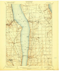
1902 Map of Ovid
USGS Topo · Published 1918About this map
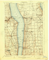
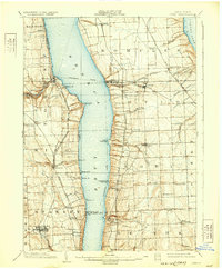
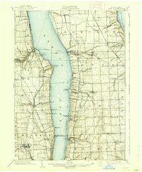
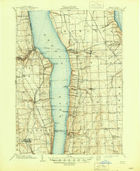
Seneca Lake dominates this central New York landscape, served by an early twentieth-century Steamboat Route that connected various landings like Lodi Landing and Lamoreaux Landing. The Finger Lakes region's steep topography and hydrology supported localized industry, as seen in the cluster of manufacturing sites along Plum Creek including Cascade Mills and Mays Mill. On the eastern shore, the Lehigh Valley R. R. and its Willard Branch wind through agricultural townships, while the New York Central and Hudson River R. R. skirts the western banks. Small settlements such as Ovid, Dundee, and Dresden emerge as rail and lake hubs. This survey reveals a transition from waterborne transport to dominant rail networks, marking a period where traditional mills and lakeside commerce coexisted with growing inland villages like Himrod and Lodi.
Find a feature on this map
76 named features on this map. Tap any name to fly to it.
Don’t see what you’re looking for? This feature index may not catch every label — zoom into the map to look around manually.
Map Details
Editions of this 1902 Ovid Map
9 editions found
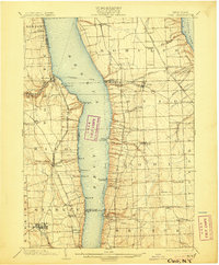
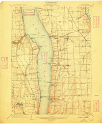
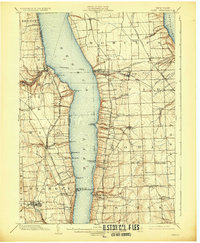
Other maps of this area

1893 · Ithaca
USGS Topo · 1:62,500

1895 · Ithaca
USGS Topo · 1:62,500

1898 · Watkins Glen
USGS Topo · 1:62,500

1899 · Auburn
USGS Topo · 1:62,500

1901 · Watkins
USGS Topo · 1:62,500

1902 · Geneva
USGS Topo · 1:62,500

1902 · Phelps
USGS Topo · 1:62,500

1902 · Genoa
USGS Topo · 1:62,500

1902 · Ovid
USGS Topo · 1:62,500

1902 · Auburn
USGS Topo · 1:62,500