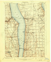
1902 Map of Ovid
USGS Topo · Published 1925About this map
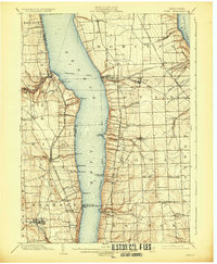
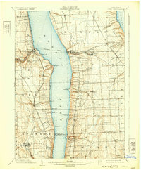
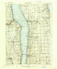
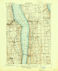
Seneca Lake and Cayuga Lake dominate this survey, flanking a high ridge populated by agricultural hamlets and lakeside landings. At the turn of the century, the region was a nexus of water and rail transport, featuring the active Steamboat Route on the lakes and several rail lines, including the Lehigh Valley R. R. and the Northern Central R. R.. These networks served local industries like the grain or paper operations at Cascade Mills and Mays Mill.
Find a feature on this map
66 named features on this map. Tap any name to fly to it.
Don’t see what you’re looking for? This feature index may not catch every label — zoom into the map to look around manually.
Map Details
Editions of this 1902 Ovid Map
9 editions found
Other maps of this area

1893 · Ithaca
USGS Topo · 1:62,500

1895 · Ithaca
USGS Topo · 1:62,500

1898 · Watkins Glen
USGS Topo · 1:62,500

1899 · Auburn
USGS Topo · 1:62,500

1901 · Watkins
USGS Topo · 1:62,500

1902 · Geneva
USGS Topo · 1:62,500

1902 · Phelps
USGS Topo · 1:62,500

1902 · Genoa
USGS Topo · 1:62,500

1902 · Ovid
USGS Topo · 1:62,500

1902 · Auburn
USGS Topo · 1:62,500