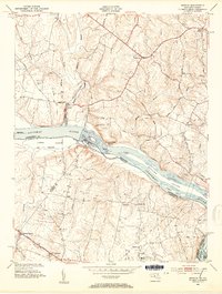
1952 Map of Seneca
USGS Topo · Published 1954About this map
The Potomac River corridor serves as the central artery for this mid-century survey, dividing Montgomery County, Maryland, from the northern Virginia counties of Loudoun and Fairfax. The northern bank is defined by the engineered path of the Chesapeake and Ohio Canal, with local infrastructure such as the Mill Race near Seneca indicating a landscape still tied to its hydraulic history. Rural crossroads like Darnestown and Quince Orchard are connected by established routes including River Road and Jones Lane, while the presence of the Forestville Sch and several unnamed cemeteries underscores the community-centric development of the era. South of the river, the Leesburg Turnpike provides a primary transit axis through Dranesville and Herndon Junction, amidst a series of island features such as Lowes Island and Sycamore Island that populate the broad river channel.
Find a feature on this map
45 named features on this map. Tap any name to fly to it.
Don’t see what you’re looking for? This feature index may not catch every label — zoom into the map to look around manually.
Map Details
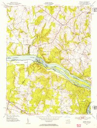
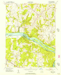
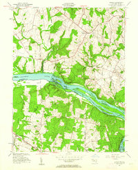
Editions of this 1952 Seneca Map
4 editions found
Other maps of this area

1890 · Mt. Vernon
USGS Topo · 1:125,000

1891 · Mt. Vernon
USGS Topo · 1:125,000

1893 · Frederick
USGS Topo · 1:125,000

1894 · Frederick
USGS Topo · 1:125,000

1894 · Mt. Vernon
USGS Topo · 1:125,000

1897 · Mt. Vernon
USGS Topo · 1:125,000

1900 · Washington
USGS Topo · 1:62,500

1908 · Rockville
USGS Topo · 1:62,500

1908 · Seneca
USGS Topo · 1:62,500

1915 · Fairfax
USGS Topo · 1:62,500