Loading...
Loading map...2024 Map of Senoia
USGS Topo · Published 2024About this map
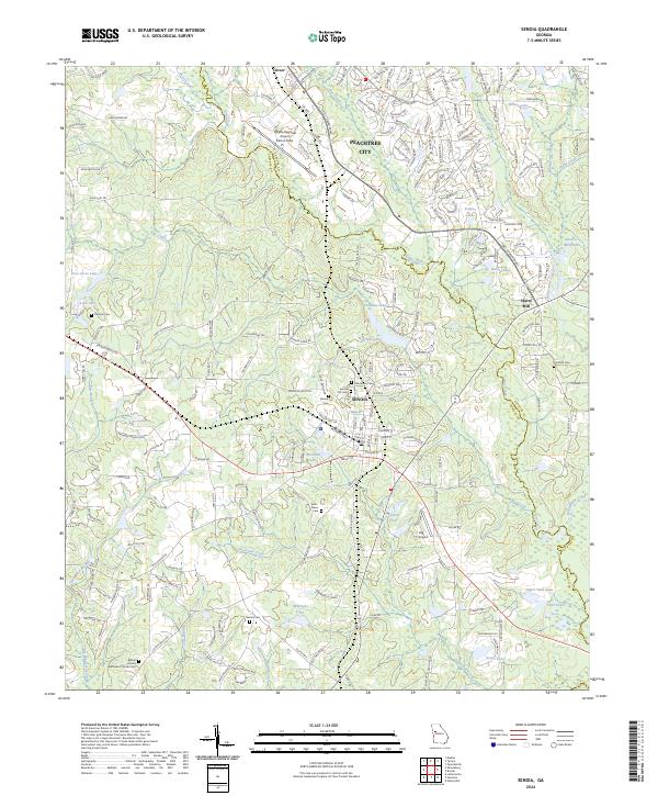
The boundary between Coweta and Fayette Counties splits this landscape, where modern suburban growth meets the rural heritage of central Georgia. The city of Senoia serves as a central hub, surrounded by a high density of local history sites including Oak Grove Cem, Senoia City Cem, and the Delk-Nixon Cem to the southwest. Aviation infrastructure is prominent with the Atlanta Regional Airport Falcon Field in the north and Big T Airport to the south.
Find a feature on this map
191 named features on this map. Tap any name to fly to it.
Don’t see what you’re looking for? This feature index may not catch every label — zoom into the map to look around manually.
Map Details
Date Portrayed2024
Date Published2024
PublisherU.S. Geological Survey
Map TypeTopographic
Scale1:24000
Physical Dimensions24 x 29 inches
Editions of this 2024 Senoia Map
This is the sole edition of this map. No revisions or reprints were ever made.
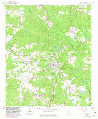
Historical Maps of Tamerlane Through Time
Featured Locations
Source Details
SourceU.S. Geological Survey
CopyrightPublic Domain