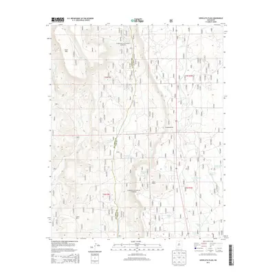
2013 Map of Servilleta Plaza
USGS Topo · Published 2013About this map
Carson National Forest land dominates this high-altitude landscape along the border of Rio Arriba and Taos counties. The terrain is defined by dramatic relief, transitioning from the broad expanse of Petaca Mesa in the northwest to the sharp descent of the Comanche Rim further east. The drainage of Rio Tusas carves through the western sections, while the central area is marked by Cerro Mojino and the winding Cañada de los Comanches.
Find a feature on this map
26 named features on this map. Tap any name to fly to it.
Don’t see what you’re looking for? This feature index may not catch every label — zoom into the map to look around manually.
Map Details
Editions of this 2013 Servilleta Plaza Map
This is the sole edition of this map. No revisions or reprints were ever made.
Other maps of this area

1918 · Abiquiu
USGS Topo · 1:125,000

1918 · Tusas
USGS Topo · 1:125,000

1953 · La Madera
USGS Topo · 1:24,000

1953 · Ojo Caliente
USGS Topo · 1:24,000

1954 · Raton
USGS Topo · 1:250,000

1954 · Aztec
USGS Topo · 1:250,000

1958 · Raton
USGS Topo · 1:250,000

1958 · Aztec
USGS Topo · 1:250,000

1960 · Taos Junction
USGS Topo · 1:24,000

1961 · Carson
USGS Topo · 1:24,000