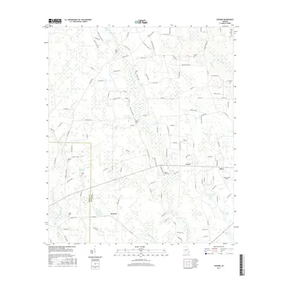
2017 Map of Sessoms
USGS Topo · Published 2017About this map
Bacon County and Coffee County meet along a boundary line that bisects this coastal plain landscape, characterized by numerous small lakes and meandering creek branches. The unincorporated community of Sessoms serves as a central point in an area defined by agricultural family plots and rural cemeteries, including Meeks Cem and Roberts Cem. Further east, the town of Alma anchors the map, supported by the nearby Bacon County Airport and the settlement of Guysie.
Find a feature on this map
116 named features on this map. Tap any name to fly to it.
Don’t see what you’re looking for? This feature index may not catch every label — zoom into the map to look around manually.
Map Details
Editions of this 2017 Sessoms Map
This is the sole edition of this map. No revisions or reprints were ever made.
Other maps of this area

1953 · Waycross
USGS Topo · 1:250,000

1958 · Waycross
USGS Topo · 1:250,000

1971 · Nicholls NE
USGS Topo · 1:24,000

1971 · Nicholls
USGS Topo · 1:24,000

1971 · Wilsonville
USGS Topo · 1:24,000

1971 · Alma NW
USGS Topo · 1:24,000

1971 · Beach
USGS Topo · 1:24,000

1971 · Alma
USGS Topo · 1:24,000

1971 · Sessoms
USGS Topo · 1:24,000

1971 · Denton
USGS Topo · 1:24,000