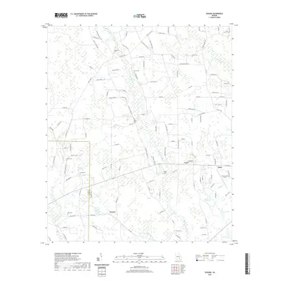
2020 Map of Sessoms
USGS Topo · Published 2020About this map
The boundary between Coffee Co and Bacon Co cuts through a landscape defined by meandering creek systems and family-named landmarks. The settlement of Sessoms anchors the southern portion of the sheet, while Alma and the Bacon County Airport represent the more developed infrastructure to the east. The terrain is marked by significant wetlands and water bodies, including Whiddons Millpond and the complex drainage of Little Hurricane Cr and Brushy Cr.
Find a feature on this map
121 named features on this map. Tap any name to fly to it.
Don’t see what you’re looking for? This feature index may not catch every label — zoom into the map to look around manually.
Map Details
Editions of this 2020 Sessoms Map
This is the sole edition of this map. No revisions or reprints were ever made.
Other maps of this area

1953 · Waycross
USGS Topo · 1:250,000

1958 · Waycross
USGS Topo · 1:250,000

1971 · Nicholls NE
USGS Topo · 1:24,000

1971 · Nicholls
USGS Topo · 1:24,000

1971 · Wilsonville
USGS Topo · 1:24,000

1971 · Alma NW
USGS Topo · 1:24,000

1971 · Beach
USGS Topo · 1:24,000

1971 · Alma
USGS Topo · 1:24,000

1971 · Sessoms
USGS Topo · 1:24,000

1971 · Denton
USGS Topo · 1:24,000