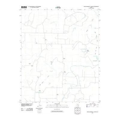
2010 Map of Seven Diamond L Canyon
USGS Topo · Published 2010About this map
The Salt Fork Brazos River winds through this West Texas landscape, defining a region where water management and ranching operations are paramount. This 2010 survey details an intricate network of tanks and windmills essential to the local economy, including the Fulbright Windmill, Patterson Windmill, and Perry Windmill. Named livestock enclosures such as Ellis Pens and Croton Pens are scattered across the terrain, illustrating the functional layout of the area's grazing lands.
Find a feature on this map
34 named features on this map. Tap any name to fly to it.
Don’t see what you’re looking for? This feature index may not catch every label — zoom into the map to look around manually.
Map Details
Editions of this 2010 Seven Diamond L Canyon Map
This is the sole edition of this map. No revisions or reprints were ever made.
Other maps of this area

1954 · Lubbock
USGS Topo · 1:250,000

1958 · Pursley House
USGS Topo · 1:24,000

1958 · Southerland Canyon
USGS Topo · 1:24,000

1958 · Seven Diamond L Canyon
USGS Topo · 1:24,000

1958 · Lovers Resort
USGS Topo · 1:24,000

1958 · Jayton
USGS Topo · 1:24,000

1959 · Bob Creek
USGS Topo · 1:24,000

1968 · Peacock
USGS Topo · 1:24,000
1968 · Swenson
USGS Topo · 1:24,000

1969 · Jayton South
USGS Topo · 1:24,000