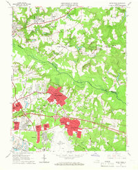
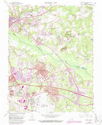
1964 Map of Seven Pines
USGS Topo · Published 1966About this map
Richmond Municipal Airport (Byrd Field) anchors the southern portion of this mid-1960s landscape, reflecting the modern infrastructure emerging alongside deeply rooted Virginia history. The map documents the suburban growth of Highland Springs, Sandston, and Seven Pines, where residential tracts like Virginia Heights and Lewis Gardens began to fill the spaces between historic road junctions. This era shows the region just before the full expansion of the interstate system, with local life centered around the Southern Railroad and rural hubs such as Mechanicsville.
Find a feature on this map
107 named features on this map. Tap any name to fly to it.
Don’t see what you’re looking for? This feature index may not catch every label — zoom into the map to look around manually.
Map Details
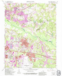
Editions of this 1964 Seven Pines Map
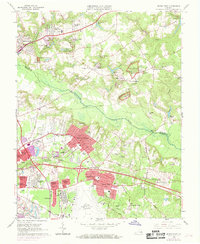
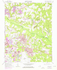
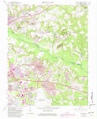
6 editions found
Other maps of this area

1894 · Bermuda Hundred
USGS Topo · 1:62,500

1894 · Richmond
USGS Topo · 1:62,500

1895 · Richmond
USGS Topo · 1:62,500

1918 · Charles City
USGS Topo · 1:62,500

1920 · King William
USGS Topo · 1:62,500

1934 · Seven Pines
USGS Topo · 1:24,000

1934 · Richmond
USGS Topo · 1:24,000

1938 · Dutch Gap
USGS Topo · 1:24,000

1938 · Seven Pines
USGS Topo · 1:31,680

1938 · Drewrys Bluff
USGS Topo · 1:24,000