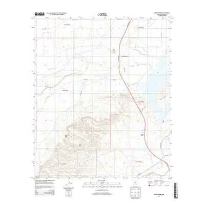
2013 Map of Seven Rivers
USGS Topo · Published 2013About this map
The Seven Rivers settlement sits at the heart of this Eddy County landscape, where the confluence of several watercourses defines the local geography. The desert drainage system is clearly visible, featuring the North Seven River, Middle Seven Rivers, and South Seven River, which converge east of the primary transportation corridor. The Seven Rivers Hwy serves as the main north-south artery, passing the Seven Rivers Airport and connecting the small cluster of buildings with the broader region.
Find a feature on this map
31 named features on this map. Tap any name to fly to it.
Don’t see what you’re looking for? This feature index may not catch every label — zoom into the map to look around manually.
Map Details
Editions of this 2013 Seven Rivers Map
This is the sole edition of this map. No revisions or reprints were ever made.
Other maps of this area

1940 · Bandanna Point
USGS Topo · 1:62,500

1943 · Bandanna Point
USGS Topo · 1:62,500

1943 · West Carlsbad
USGS Topo · 1:62,500

1945 · West Carlsbad
USGS Topo · 1:62,500

1954 · Seven Rivers
USGS Topo · 1:24,000

1954 · Carlsbad
USGS Topo · 1:250,000

1955 · Dayton
USGS Topo · 1:24,000

1955 · Lake Mc Millan North
USGS Topo · 1:24,000

1955 · Lake Mc Millan South
USGS Topo · 1:24,000

1956 · Parish Ranch
USGS Topo · 1:24,000