
1970 Map of Seven Springs
USGS Topo · Published 1973About this map
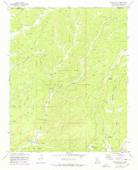
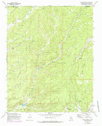
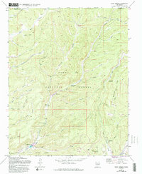
Rio Cebolla and the Rio San Antonio carve deep through this portion of the Santa Fe National Forest, defining a landscape of narrow canyons and natural springs. The presence of the State Fish Hatchery at Seven Springs highlights the area's significance for regional conservation and land management. Further south, Fenton Lake and the Fenton Ranch indicate a shift toward established recreation and seasonal habitation during the early 1970s.
Find a feature on this map
46 named features on this map. Tap any name to fly to it.
Don’t see what you’re looking for? This feature index may not catch every label — zoom into the map to look around manually.
Map Details
Editions of this 1970 Seven Springs Map
4 editions found
Other maps of this area

1890 · Jemes
USGS Topo · 1:125,000

1892 · Jemes
USGS Topo · 1:125,000

1909 · Gallina
USGS Topo · 1:125,000

1937 · Jemez Springs
USGS Topo · 1:48,000

1939 · La Ventana
USGS Topo · 1:62,500

1940 · Cuba
USGS Topo · 1:62,500

1943 · Cuba
USGS Topo · 1:62,500

1943 · La Ventana
USGS Topo · 1:62,500

1944 · Jemez Springs
USGS Topo · 1:62,500

1952 · Jemez Springs
USGS Topo · 1:62,500