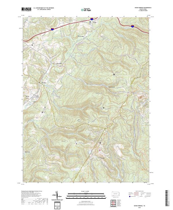
2023 Map of Seven Springs
USGS Topo · Published 2023About this map
Seven Springs and the surrounding high ridges of the Laurel Highlands anchor this 2023 survey of the tri-county border where Westmoreland, Somerset, and Fayette counties converge. The landscape is defined by its significant relief, with prominent points like Laurel Hill and Painter Rock Hill overlooking the headwaters of Indian Creek and Roaring Run. Settlement patterns follow the valley floors and lower slopes, connecting established communities like Jones Mills and Champion via an intricate network of local routes such as Jones Mill Rd and Pritts Distillery Rd.
Find a feature on this map
116 named features on this map. Tap any name to fly to it.
Don’t see what you’re looking for? This feature index may not catch every label — zoom into the map to look around manually.
Map Details
Editions of this 2023 Seven Springs Map
This is the sole edition of this map. No revisions or reprints were ever made.
Other maps of this area

1913 · Somerset
USGS Topo · 1:62,500

1915 · Somerset
USGS Topo · 1:62,500

1921 · Meyersdale
USGS Topo · 1:62,500

1922 · Confluence
USGS Topo · 1:62,500

1922 · Donegal
USGS Topo · 1:62,500

1931 · Confluence
USGS Topo · 1:62,500

1933 · Confluence
USGS Topo · 1:62,500

1935 · Donegal
USGS Topo · 1:62,500

1939 · Meyersdale
USGS Topo · 1:62,500

1944 · Somerset
USGS Topo · 1:62,500
Featured Places
- Seven Springs, PA
- Donegal Township, PA
- Jefferson Township, PA
- Middlecreek Township, PA
- Springfield Township, PA