
1953 Map of Sevenmile Basin
USGS Topo · Published 1955About this map
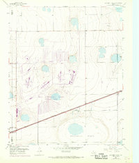
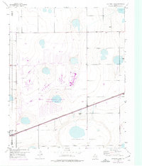
Sevenmile Basin dominates this 1953 landscape in the Texas Panhandle, a region defined by its distinct depression contours and scattered playas. The terrain is bisected diagonally by the Panhandle and Santa Fe (AT&SF) railroad, which served as a critical corridor for transport across the High Plains. Along the western edge, the settlement of St Francis sits near the county line, providing a focal point for researchers interested in the agricultural and rail-dependent communities of Carson and Potter counties. The presence of the Tony Ridge Clubhouse in the southeast corner suggests a localized social or recreational landmark within the vast ranching and farming expanses. This survey captures the area just before the significant expansion of modern infrastructure, preserving the exact layout of the plains' natural basins and early 20th-century transportation networks.
Find a feature on this map
6 named features on this map. Tap any name to fly to it.
Don’t see what you’re looking for? This feature index may not catch every label — zoom into the map to look around manually.
Map Details
Editions of this 1953 Sevenmile Basin Map
Other maps of this area

1953 · Mayer
USGS Topo · 1:24,000

1953 · Pomeroy
USGS Topo · 1:24,000

1953 · Berry Sand Draw
USGS Topo · 1:24,000

1954 · Amarillo
USGS Topo · 1:250,000

1956 · Washburn
USGS Topo · 1:24,000

1956 · Pullman
USGS Topo · 1:24,000

1958 · Amarillo
USGS Topo · 1:250,000

1960 · Claude
USGS Topo · 1:62,500

1965 · Abell
USGS Topo · 1:24,000

1966 · Panhandle West
USGS Topo · 1:24,000