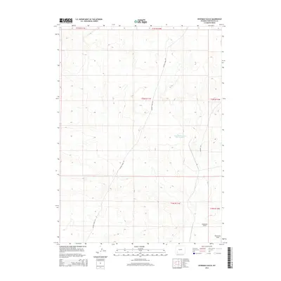
2015 Map of Sevenmile Gulch
USGS Topo · Published 2015About this map
The Brigham Young 1847 trail and Emigrant Trl cut across this high-altitude landscape in Sweetwater County, providing a contemporary view of these significant 19th-century migration corridors. This 2015 data shows how these early paths are etched into the terrain of Sevenmile Gulch, maintaining their historical alignment even as modern industrial features like the Texasgulf Emergency Pond Number 2 appear in the northern sections. The map serves as a precise digital record of the intersection between pioneer history and modern land use.
Find a feature on this map
11 named features on this map. Tap any name to fly to it.
Don’t see what you’re looking for? This feature index may not catch every label — zoom into the map to look around manually.
Map Details
Editions of this 2015 Sevenmile Gulch Map
This is the sole edition of this map. No revisions or reprints were ever made.
Other maps of this area

1954 · Ogden
USGS Topo · 1:250,000

1954 · Rock Springs
USGS Topo · 1:250,000

1958 · Ogden
USGS Topo · 1:250,000

1958 · Rock Springs
USGS Topo · 1:250,000

1960 · Ogden
USGS Topo · 1:250,000

1961 · Blue Point
USGS Topo · 1:24,000

1961 · Little America
USGS Topo · 1:24,000

1961 · Sevenmile Gulch
USGS Topo · 1:24,000

1961 · Granger
USGS Topo · 1:24,000

1962 · Rock Springs
USGS Topo · 1:250,000