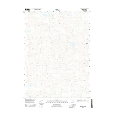
2014 Map of Sevenmile Hill
USGS Topo · Published 2014About this map
Sevenmile Hill rises above the distinctive dune-and-basin topography of central Cherry County, anchoring a landscape dominated by the Nebraska Sandhills. This 2014 survey captures a sparsely populated region defined by its hydrography, where numerous small basins collect surface water to form significant local landmarks like Roseberry Lake and Speckel-Meir Lake. The presence of Alkali Lake and Cox Reservoir Number 1 in the southern portion of the sheet highlights the critical role of water management and natural catchments in this high-plains environment. On the eastern edge, the level expanse of Prairie Dog Flats provides a rare break in the undulating terrain, offering a clear picture of the geographic diversity found within the sandhills. The map illustrates a region where few permanent roads penetrate the interior, reflecting the enduring isolation of this ranching and conservation landscape.
Find a feature on this map
7 named features on this map. Tap any name to fly to it.
Don’t see what you’re looking for? This feature index may not catch every label — zoom into the map to look around manually.
Map Details
Editions of this 2014 Sevenmile Hill Map
This is the sole edition of this map. No revisions or reprints were ever made.
Other maps of this area

1948 · Mullen
USGS Topo · 1:62,500

1949 · Big Falls
USGS Topo · 1:62,500

1950 · Hire
USGS Topo · 1:62,500

1950 · Wolf Lake
USGS Topo · 1:62,500

1951 · Mullen
USGS Topo · 1:62,500

1951 · Big Falls
USGS Topo · 1:62,500

1951 · Wolf Lake
USGS Topo · 1:62,500

1957 · Valentine
USGS Topo · 1:250,000

1959 · Valentine
USGS Topo · 1:250,000

1985 · Mullen
USGS Topo · 1:100,000