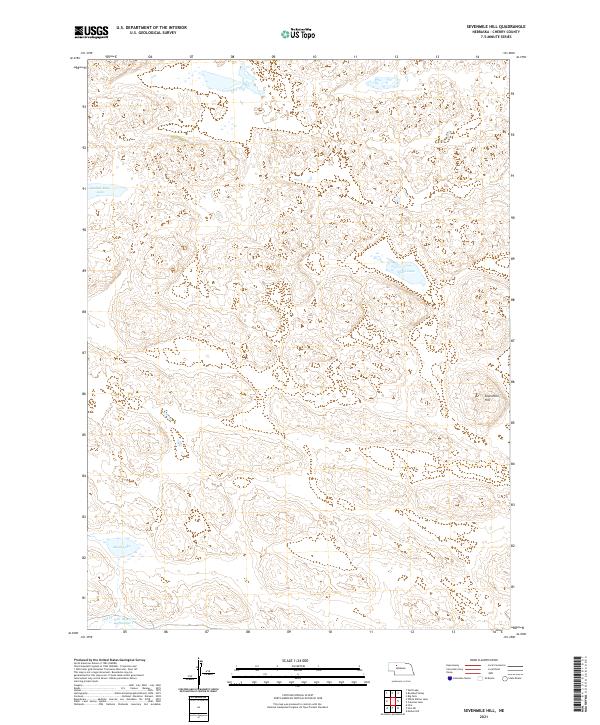
2021 Map of Sevenmile Hill
USGS Topo · Published 2021About this map
Sevenmile Hill rises above a landscape defined by its distinctive depressions and scattered water bodies in this section of Cherry County. The area’s hydrology is characterized by isolated basins like Speckel-Meir Lake and Speck Lake, which dot the terrain between ridges. To the south, the expansive Alkali Lake sits near the headwaters of Calf Cr, where ranching infrastructure is evidenced by the Cox Reservoir Number 1. This 2021 survey illustrates the complex topography of the Nebraska Sandhills, showing how water is managed and collected in a region where surface flow is limited and groundwater-fed lakes are central to the geography.
Find a feature on this map
12 named features on this map. Tap any name to fly to it.
Don’t see what you’re looking for? This feature index may not catch every label — zoom into the map to look around manually.
Map Details
Editions of this 2021 Sevenmile Hill Map
This is the sole edition of this map. No revisions or reprints were ever made.
Other maps of this area

1948 · Mullen
USGS Topo · 1:62,500

1949 · Big Falls
USGS Topo · 1:62,500

1950 · Hire
USGS Topo · 1:62,500

1950 · Wolf Lake
USGS Topo · 1:62,500

1951 · Mullen
USGS Topo · 1:62,500

1951 · Big Falls
USGS Topo · 1:62,500

1951 · Wolf Lake
USGS Topo · 1:62,500

1957 · Valentine
USGS Topo · 1:250,000

1959 · Valentine
USGS Topo · 1:250,000

1985 · Mullen
USGS Topo · 1:100,000