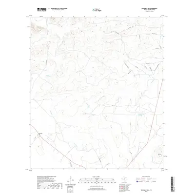
2019 Map of Sevenmile Hill
USGS Topo · Published 2019About this map
Sevenmile Hill and Big Mtn rise above the South Texas brush country in this 2019 survey of Uvalde County. The landscape is defined by its seasonal hydrology, where the Leona River and various sloughs form the primary drainage network. Notable features include Willingham Lake and the Eightmile Waterhole, indicating vital water sources in an otherwise arid region. The drainage patterns of Cooks Slough, Boon Slough, and Taylor Slough weave through a terrain increasingly marked by private ranch roads and local infrastructure. This modern topographic study by the U.S. Geological Survey illustrates the transition from traditional open range to managed ranch lands like Rancho Encino. The mapping of Indian Cr and Little Indian Cr in the northwest corner highlights the complexity of the local watershed feeding into the larger river systems of the region.
Find a feature on this map
30 named features on this map. Tap any name to fly to it.
Don’t see what you’re looking for? This feature index may not catch every label — zoom into the map to look around manually.
Map Details
Editions of this 2019 Sevenmile Hill Map
This is the sole edition of this map. No revisions or reprints were ever made.
Other maps of this area

1898 · Uvalde
USGS Topo · 1:125,000

1899 · Uvalde
USGS Topo · 1:125,000

1954 · San Antonio
USGS Topo · 1:250,000

1957 · San Antonio
USGS Topo · 1:250,000

1960 · Concan
USGS Topo · 1:24,000
1960 · Hacienda
USGS Topo · 1:24,000
1960 · Chalk Bluff
USGS Topo · 1:24,000
1971 · Sevenmile Hill
USGS Topo · 1:24,000
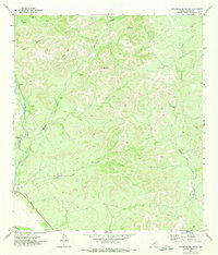
1971 · Sycamore Mountain
USGS Topo · 1:24,000
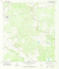
1971 · Garner Field
USGS Topo · 1:24,000