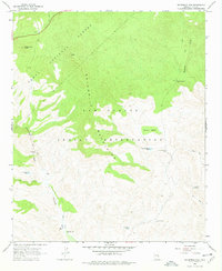
1966 Map of Sevenmile Mts.
USGS Topo · Published 1977About this map
The San Carlos Indian Reservation meets the Tonto National Forest in this mid-1960s survey of high desert and upland terrain. The Seven Mile Mountains dominate the central landscape, a region defined by its critical water resources for cattle ranching. Scattered wells and tanks, such as Coffee Pot Well, Bean Belly Well, and Sevenmile Tank, highlight the infrastructure of this working landscape. The presence of Sevenmile Camp and the small settlement of Corral near the Sevenmile Wash suggest seasonal or logistical hubs for land management. To the east, Sycamore Creek and Gerald Spring provide further evidence of the hydrological network necessary to sustain life in this remote part of Gila County. The map captures the area as it functioned before modern development, emphasizing trails and isolated water points over paved infrastructure.
Find a feature on this map
20 named features on this map. Tap any name to fly to it.
Don’t see what you’re looking for? This feature index may not catch every label — zoom into the map to look around manually.
Map Details
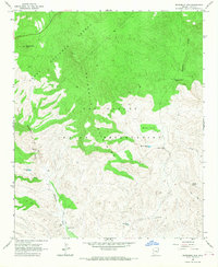
Editions of this 1966 Sevenmile Mts. Map
2 editions found
Other maps of this area

1922 · Chrysotile
USGS Topo · 1:125,000

1954 · Mesa
USGS Topo · 1:250,000

1957 · Mesa
USGS Topo · 1:250,000

1958 · Mesa
USGS Topo · 1:250,000

1960 · Mesa
USGS Topo · 1:250,000

1964 · Mesa
USGS Topo · 1:250,000

1966 · Brushy Canyon
USGS Topo · 1:24,000

1966 · Natural Corral
USGS Topo · 1:24,000
1966 · Dourine Canyon
USGS Topo · 1:24,000

1966 · Cassadore Spring
USGS Topo · 1:24,000