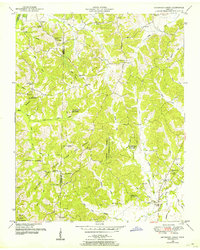
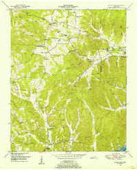
1950 Map of Seventeen Creek
USGS Topo · Published 1953About this map
Natchez Trace State Park and Forest dominates this central Tennessee landscape, bisected by the Carroll Co Benton Co line. The terrain is defined by a dense network of winding waterways, including Seventeen Creek, Fourteen Creek, and the West Fork Birdsong Creek, which carve through the wooded hills. This mid-century survey captures a rural community organized around small schools and country churches, such as New Friendship Church and Butler Ch, many of which served as the social anchors for scattered settlements like Robison and Smothers.
Find a feature on this map
52 named features on this map. Tap any name to fly to it.
Don’t see what you’re looking for? This feature index may not catch every label — zoom into the map to look around manually.
Map Details
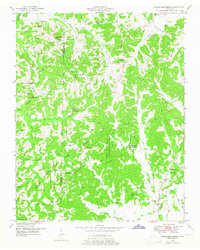
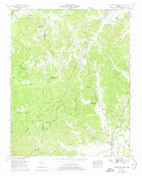
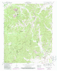
Editions of this 1950 Seventeen Creek Map
4 editions found
Other maps of this area

1936 · Yuma
USGS Topo · 1:24,000

1936 · Camden
USGS Topo · 1:24,000

1936 · Seventeen Creek
USGS Topo · 1:24,000

1936 · Vale
USGS Topo · 1:24,000

1936 · Bruceton
USGS Topo · 1:24,000

1936 · Sugar Tree
USGS Topo · 1:24,000

1936 · Cavvia
USGS Topo · 1:24,000

1936 · Buena Vista
USGS Topo · 1:24,000

1936 · Rockport
USGS Topo · 1:24,000
1949 · Sugar Tree
USGS Topo · 1:24,000