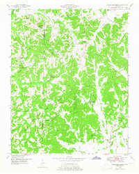
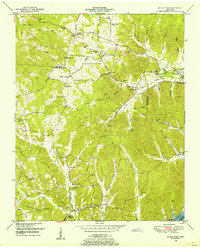
1950 Map of Seventeen Creek
USGS Topo · Published 1965About this map
Natchez Trace State Park and Forest dominates the heart of this landscape along the border of Carroll and Benton counties. The terrain is defined by an intricate network of waterways, including Seventeen Creek, Fourteen Creek, and the Big Sandy River Drainage Canal. Rural life in the mid-twentieth century is evidenced by a distribution of small community centers like Robison and Pleasant Hill, supported by local institutions such as Cooper School and New Friendship Church. The map provides significant genealogical data through numerous family and community burial sites, including Abbott Cem, Pierce Cem, and Flowers Cem. These landmarks, along with the numerous creek branches like Lyle Branch and Pond Branch, illustrate a settlement pattern deeply tied to the natural drainage and the historical corridor of the Natchez Trace.
Find a feature on this map
50 named features on this map. Tap any name to fly to it.
Don’t see what you’re looking for? This feature index may not catch every label — zoom into the map to look around manually.
Map Details
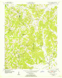
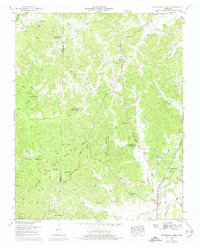
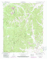
Editions of this 1950 Seventeen Creek Map
4 editions found
Other maps of this area

1936 · Yuma
USGS Topo · 1:24,000

1936 · Camden
USGS Topo · 1:24,000

1936 · Seventeen Creek
USGS Topo · 1:24,000

1936 · Vale
USGS Topo · 1:24,000

1936 · Bruceton
USGS Topo · 1:24,000

1936 · Sugar Tree
USGS Topo · 1:24,000

1936 · Cavvia
USGS Topo · 1:24,000

1936 · Buena Vista
USGS Topo · 1:24,000

1936 · Rockport
USGS Topo · 1:24,000
1949 · Sugar Tree
USGS Topo · 1:24,000