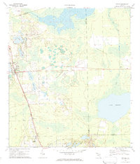
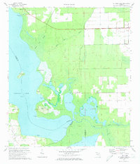
1970 Map of Seville
USGS Topo · Published 1984About this map
Seville and Pierson anchor this North Volusia landscape at a time when the region's agricultural and transportation patterns were clearly defined. The Seaboard Coast Line railroad runs nearly straight through the western half of the territory, connecting the small communities of Connersville and Seville to the broader Florida rail network. This corridor is flanked by numerous water bodies, including Lake Juanita and Cowarts Lake, which speak to the area's high water table and natural drainage patterns.
Find a feature on this map
21 named features on this map. Tap any name to fly to it.
Don’t see what you’re looking for? This feature index may not catch every label — zoom into the map to look around manually.
Map Details
Editions of this 1970 Seville Map
3 editions found
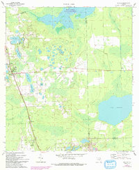
Other maps of this area

1954 · Daytona Beach
USGS Topo · 1:250,000

1958 · Daytona Beach
USGS Topo · 1:250,000

1964 · Daytona Beach
USGS Topo · 1:250,000

1970 · Crescent City
USGS Topo · 1:24,000

1970 · Welaka SE
USGS Topo · 1:24,000

1970 · Seville
USGS Topo · 1:24,000
1970 · Bunnell
USGS Topo · 1:24,000

1970 · Pierson
USGS Topo · 1:24,000
1971 · Lake Dias
USGS Topo · 1:24,000
1972 · St. Johns Park
USGS Topo · 1:24,000