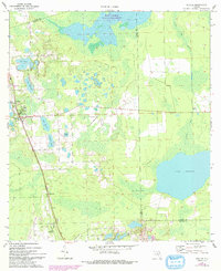
1970 Map of Seville
USGS Topo · Published 1993About this map
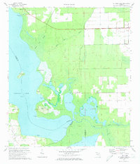
Seville and the surrounding agricultural lands of northwest Volusia County are defined by a complex mosaic of freshwater lakes and wetlands in this survey. The landscape transitions from the concentrated citrus-growing region around the town and nearby Pierson to the sprawling waters of Lake Disston and the Haw Creek State Preserve. The map documents the rural infrastructure of the early 1970s, including a Lookout Tower near Seville and several small, distinct communities like Bakerstown and Connersville.
Find a feature on this map
21 named features on this map. Tap any name to fly to it.
Don’t see what you’re looking for? This feature index may not catch every label — zoom into the map to look around manually.
Map Details
Editions of this 1970 Seville Map
3 editions found
Other maps of this area

1954 · Daytona Beach
USGS Topo · 1:250,000

1958 · Daytona Beach
USGS Topo · 1:250,000

1964 · Daytona Beach
USGS Topo · 1:250,000

1970 · Crescent City
USGS Topo · 1:24,000

1970 · Welaka SE
USGS Topo · 1:24,000

1970 · Seville
USGS Topo · 1:24,000
1970 · Bunnell
USGS Topo · 1:24,000

1970 · Pierson
USGS Topo · 1:24,000
1971 · Lake Dias
USGS Topo · 1:24,000
1972 · St. Johns Park
USGS Topo · 1:24,000