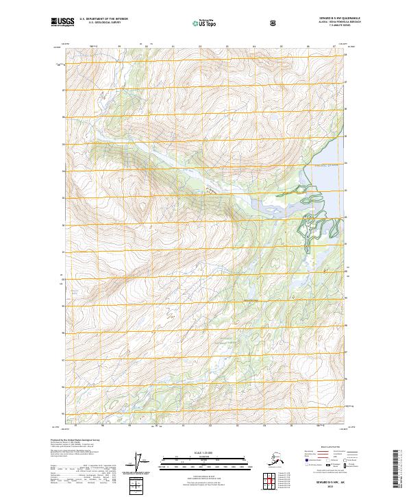
2023 Map of Seward B-5 NW
USGS Topo · Published 2023About this map
Wolverine Glacier and the drainage systems of the Kenai Peninsula dominate this portion of the Chugach National Forest. The landscape is defined by the glacial activity that feeds the Kings River and the Nellie Juan River, both of which carve through the steep topography toward the coastline. Where the mountains meet the Pacific Ocean, the map reveals an intricate network of tidal flats and river mouths, illustrating the dynamic interface between freshwater runoff and the sea. This coastal area remains largely undeveloped, preserving the original hydrography and terrain as established by the Public Land Survey System grids across several townships, including t4n r4e and t5n r4e. The interaction of ice, river, and ocean here provides a detailed view of a landscape still shaped primarily by natural forces rather than human infrastructure.
Find a feature on this map
12 named features on this map. Tap any name to fly to it.
Don’t see what you’re looking for? This feature index may not catch every label — zoom into the map to look around manually.
Map Details
Editions of this 2023 Seward B-5 NW Map
This is the sole edition of this map. No revisions or reprints were ever made.
Other maps of this area

1951 · Seward
USGS Topo · 1:250,000

1951 · Seward C-6
USGS Topo · 1:63,360

1951 · Seward C-5
USGS Topo · 1:63,360

1951 · Seward B-6
USGS Topo · 1:63,360

1951 · Seward B-5
USGS Topo · 1:63,360

1952 · Seward B-6
USGS Topo · 1:63,360

1952 · Seward C-6
USGS Topo · 1:63,360

1952 · Seward C-5
USGS Topo · 1:63,360

1952 · Seward B-5
USGS Topo · 1:63,360

1953 · Seward
USGS Topo · 1:250,000