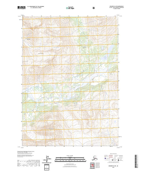
2023 Map of Seward B-6 SW
USGS Topo · Published 2023About this map
Chugach National Forest land defines this portion of the Kenai Peninsula, where the Snow River carves through glacial valleys. High alpine terrain is marked by prominent summits such as Andy Simons Mtn and Sheep Mtn, while the Mother Goose Glacier sits as a remnant of the region's active ice-molded landscape. Near the settlement of Primrose, Victor Creek flows through steep elevation changes before reaching the lower valley floors. To the east, the drainage of Lower Paradise Lake and the aptly named Paradise Valley offer a lower-elevation contrast to the surrounding heights of Paradise Peak. This topographic study by the U.S. Geological Survey illustrates the intricate drainage patterns and glacial features characteristic of Alaska's coastal mountain ranges, providing precise data on the water bodies and summits that shape local navigation and land management.
Find a feature on this map
15 named features on this map. Tap any name to fly to it.
Don’t see what you’re looking for? This feature index may not catch every label — zoom into the map to look around manually.
Map Details
Editions of this 2023 Seward B-6 SW Map
This is the sole edition of this map. No revisions or reprints were ever made.
Other maps of this area

1950 · Seward A-6
USGS Topo · 1:63,360

1950 · Seward A-7
USGS Topo · 1:63,360

1951 · Seward
USGS Topo · 1:250,000

1951 · Seward A-6
USGS Topo · 1:63,360

1951 · Seward A-7
USGS Topo · 1:63,360

1951 · Seward B-7
USGS Topo · 1:63,360

1951 · Seward B-6
USGS Topo · 1:63,360

1952 · Seward B-6
USGS Topo · 1:63,360

1953 · Seward B-7
USGS Topo · 1:63,360

1953 · Seward
USGS Topo · 1:250,000