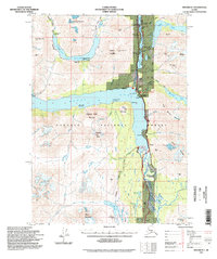
1994 Map of Seward B-7
USGS Topo · Published 1998About this map
Alaska Railroad tracks and the Seward Highway carve a narrow transport corridor through this portion of the Chugach National Forest, following the shorelines of Lower Trail Lake and Kenai Lake. The map reveals a landscape defined by high-altitude extraction and seasonal wilderness access in the mid-1990s. Resource history is evident at the Solars Sawmill (Aband) and several notable mining sites, including the Crown Point Mine and Primrose Mine.
Find a feature on this map
79 named features on this map. Tap any name to fly to it.
Don’t see what you’re looking for? This feature index may not catch every label — zoom into the map to look around manually.
Map Details
Editions of this 1994 Seward B-7 Map
This is the sole edition of this map. No revisions or reprints were ever made.
Other maps of this area

1950 · Seward A-6
USGS Topo · 1:63,360

1950 · Seward A-8
USGS Topo · 1:63,360

1950 · Seward A-7
USGS Topo · 1:63,360

1951 · Seward
USGS Topo · 1:250,000

1951 · Seward A-6
USGS Topo · 1:63,360

1951 · Seward A-7
USGS Topo · 1:63,360

1951 · Seward B-7
USGS Topo · 1:63,360

1951 · Seward C-6
USGS Topo · 1:63,360

1951 · Seward B-6
USGS Topo · 1:63,360

1951 · Seward C-8
USGS Topo · 1:63,360