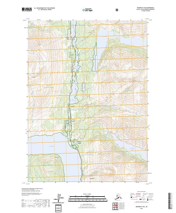
2023 Map of Seward B-7 NE
USGS Topo · Published 2023About this map
The Seward Highway corridor carves a path through the heart of the Chugach National Forest, connecting a string of small settlements along the narrow valley floor. Moose Pass and Crown Point serve as central hubs in this mountain landscape, where the geography is defined by the interconnected waters of Upper Trail Lake, Lower Trail Lake, and the expansive northern reach of Kenai Lake. The map reveals a transition from highway-side development to the backcountry, marked by the presence of Lawing Airport and the historic route of the Iditarod National Historic Trl.
Find a feature on this map
41 named features on this map. Tap any name to fly to it.
Don’t see what you’re looking for? This feature index may not catch every label — zoom into the map to look around manually.
Map Details
Editions of this 2023 Seward B-7 NE Map
This is the sole edition of this map. No revisions or reprints were ever made.
Other maps of this area

1951 · Seward
USGS Topo · 1:250,000

1951 · Seward B-7
USGS Topo · 1:63,360

1951 · Seward C-6
USGS Topo · 1:63,360

1951 · Seward B-6
USGS Topo · 1:63,360

1951 · Seward C-7
USGS Topo · 1:63,360

1952 · Seward B-6
USGS Topo · 1:63,360

1952 · Seward C-6
USGS Topo · 1:63,360

1953 · Seward C-7
USGS Topo · 1:63,360

1953 · Seward B-7
USGS Topo · 1:63,360

1953 · Seward
USGS Topo · 1:250,000