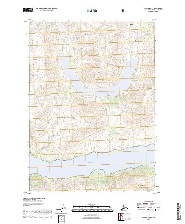
2023 Map of Seward B-7 NW
USGS Topo · Published 2023About this map
Chugach National Forest encompasses the rugged high-elevation terrain of the Kenai Peninsula in this contemporary study. The landscape is defined by massive glacial-carved basins, most notably the deep waters of Kenai Lake which dominates the southern portion of the quadrangle. Steep ridges rise sharply from the lakeshore to summits like Mt Madson and Sleeping Sister Mtn, while interior basins hold smaller alpine features such as Crescent Lake and Carter Lake.
Find a feature on this map
21 named features on this map. Tap any name to fly to it.
Don’t see what you’re looking for? This feature index may not catch every label — zoom into the map to look around manually.
Map Details
Editions of this 2023 Seward B-7 NW Map
This is the sole edition of this map. No revisions or reprints were ever made.
Other maps of this area

1951 · Seward
USGS Topo · 1:250,000

1951 · Seward B-7
USGS Topo · 1:63,360

1951 · Seward C-8
USGS Topo · 1:63,360

1951 · Seward B-8
USGS Topo · 1:63,360

1951 · Seward C-7
USGS Topo · 1:63,360

1952 · Seward C-8
USGS Topo · 1:63,360
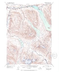
1952 · Seward B-8
USGS Topo · 1:63,360

1953 · Seward C-7
USGS Topo · 1:63,360

1953 · Seward B-7
USGS Topo · 1:63,360

1953 · Seward
USGS Topo · 1:250,000