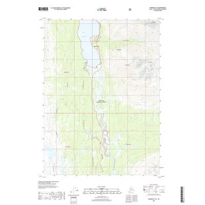
2018 Map of Seward B-7 SE
USGS Topo · Published 2018About this map
Lakeview and Primrose serve as the primary human settlements on this section of the Kenai Peninsula, situated where the Seward Highway skirts the eastern shore of Kenai Lake. The landscape is defined by its dramatic elevation changes and a dense network of backcountry trails within the Chugach National Forest. Hikers and researchers can trace the Meridian Lakes Trail and the Bear Lake Trail, which connect several high-altitude water bodies including Meridian Lake, Grayling Lake, and Sky Lake. In the southern reaches, the Snow River and South Fork Snow River carve through the terrain, while the peaks of Andy Simons Mtn and Sheep Mtn dominate the northeast. This 2018 survey provides a modern view of these established recreational corridors and the vital transportation link between the coast and the interior.
Find a feature on this map
28 named features on this map. Tap any name to fly to it.
Don’t see what you’re looking for? This feature index may not catch every label — zoom into the map to look around manually.
Map Details
Editions of this 2018 Seward B-7 SE Map
This is the sole edition of this map. No revisions or reprints were ever made.
Other maps of this area

1950 · Seward A-6
USGS Topo · 1:63,360

1950 · Seward A-7
USGS Topo · 1:63,360

1951 · Seward
USGS Topo · 1:250,000

1951 · Seward A-6
USGS Topo · 1:63,360

1951 · Seward A-7
USGS Topo · 1:63,360

1951 · Seward B-7
USGS Topo · 1:63,360

1951 · Seward B-6
USGS Topo · 1:63,360

1952 · Seward B-6
USGS Topo · 1:63,360

1953 · Seward B-7
USGS Topo · 1:63,360

1953 · Seward
USGS Topo · 1:250,000