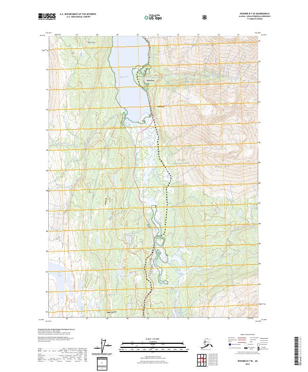
2023 Map of Seward B-7 SE
USGS Topo · Published 2023About this map
Kenai Lake and the Snow River valley anchor this section of the peninsula, where the modern corridor of the Seward Highway follows the historical precedents of the Iditarod National Historic Trl. The landscape is dominated by the steep rises of Andy Simons Mtn and Sheep Mtn within the Chugach National Forest. Smaller settlements like Lakeview and Primrose cluster near the lake's southern reaches, serving as gateways to the back-country.
Find a feature on this map
25 named features on this map. Tap any name to fly to it.
Don’t see what you’re looking for? This feature index may not catch every label — zoom into the map to look around manually.
Map Details
Editions of this 2023 Seward B-7 SE Map
This is the sole edition of this map. No revisions or reprints were ever made.
Other maps of this area

1950 · Seward A-6
USGS Topo · 1:63,360

1950 · Seward A-7
USGS Topo · 1:63,360

1951 · Seward
USGS Topo · 1:250,000

1951 · Seward A-6
USGS Topo · 1:63,360

1951 · Seward A-7
USGS Topo · 1:63,360

1951 · Seward B-7
USGS Topo · 1:63,360

1951 · Seward B-6
USGS Topo · 1:63,360

1952 · Seward B-6
USGS Topo · 1:63,360

1953 · Seward B-7
USGS Topo · 1:63,360

1953 · Seward
USGS Topo · 1:250,000