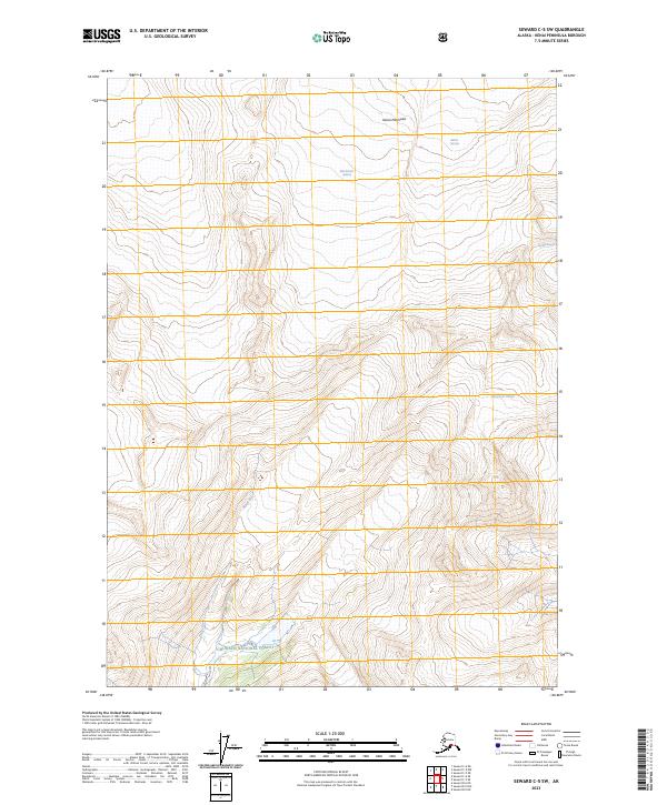
2023 Map of Seward C-5 SW
USGS Topo · Published 2023About this map
The Chugach National Forest landscape shown here is defined by significant ice fields and glacial drainage systems on the Kenai Peninsula. This recent topographic study captures the contemporary boundaries of the Blackstone Glacier, Beloit Glacier, and Taylor Glacier as they interact with the surrounding terrain. To the south, the Claremont Glacier feeds into the high-altitude drainage basins that contribute to the Kings River system. The map provides a detailed view of the modern hydrological and topographical state of this roadless region, recording the current extent of these massive ice features within the federal forest lands. The lack of infrastructure and named settlements emphasizes the purely glacial and riverine character of this portion of the peninsula.
Find a feature on this map
11 named features on this map. Tap any name to fly to it.
Don’t see what you’re looking for? This feature index may not catch every label — zoom into the map to look around manually.
Map Details
Editions of this 2023 Seward C-5 SW Map
This is the sole edition of this map. No revisions or reprints were ever made.
Other maps of this area

1951 · Seward
USGS Topo · 1:250,000

1951 · Seward C-6
USGS Topo · 1:63,360

1951 · Seward C-5
USGS Topo · 1:63,360

1951 · Seward B-6
USGS Topo · 1:63,360

1951 · Seward B-5
USGS Topo · 1:63,360

1952 · Seward B-6
USGS Topo · 1:63,360

1952 · Seward C-6
USGS Topo · 1:63,360

1952 · Seward C-5
USGS Topo · 1:63,360

1952 · Seward B-5
USGS Topo · 1:63,360

1953 · Seward
USGS Topo · 1:250,000